
Archaeological Remote Sensing
35 reportsThe most informative angles on Archaeological Remote Sensing involve calibration or reference data, while also considering spatial or chronological resolution and validation with excavation evidence. The discussion asks what can be established from blind or comparative tests about spatial or chronological resolution and whether a compatible result appears in integration with excavation records; uncertainty persists because disturbance, contamination, and incomplete context can narrow what the method establishes.
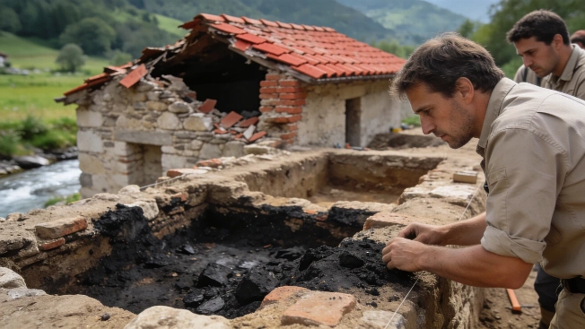
Roman Town With 8000 Seat Amphitheatre Found in Austria
Geophysical surveys in Lower Austria have mapped a Roman town with a regular street grid, burial grounds and an amphitheatre for about 8000 people. Researchers cautiously link it to Claudivium, but the identification remains unconfirmed.
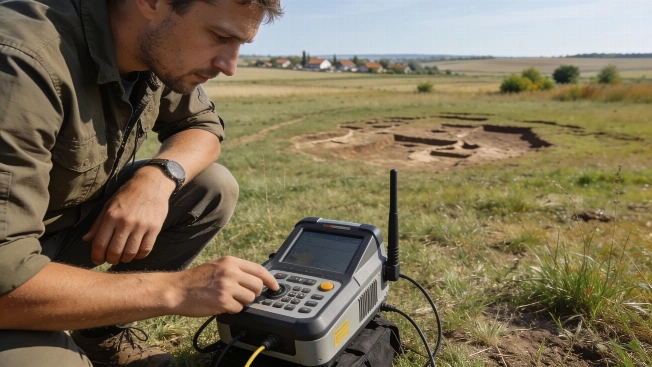
Opovo Settlement Was Twice the Size Archaeologists Thought
A new survey of Opovo Ugar-Bajbuk in Serbia combines surface collection, geophysics, drilling and targeted excavation to expand the site estimate from five hectares to more than nine and from about 200 residents to over 700.
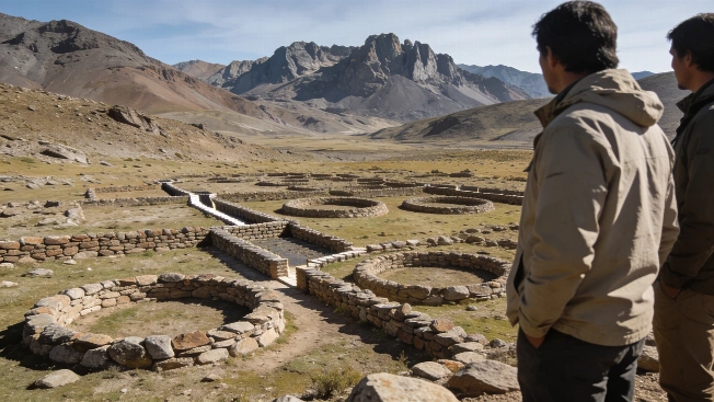
Argentina's Andes Reveal Vast Stone Circles With Unknown Purpose
A remote survey in Mendoza province has confirmed huge circular stone structures linked by passageways at more than 3,000 meters above sea level. Their date and purpose remain unresolved
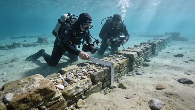
Submerged Medieval Settlement Shipden Reveals New Evidence off Norfolk Coast
Underwater archaeologists have mapped 25 manmade features on the seabed near Cromer, offering new insight into the medieval town of Shipden lost to the North Sea around 700 years ago and challenging local legends about its fate
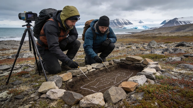
Stone-Lined Graves and Ship Timbers Documented in Arctic Svalbard Survey
Archaeologists have identified 45 stone-lined graves and ship timber fragments on Svalbard using non-invasive survey methods, raising new questions about burial traditions and the preservation of Arctic heritage under threat from erosion
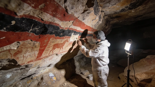
Conservation Secures Two Millennia of Rock Art at Cueva de las Monas
A five-year project at Cueva de las Monas in northern Mexico has stabilized ancient rock paintings spanning over 2,000 years, protecting them from weathering and vandalism while revealing complex cultural layers
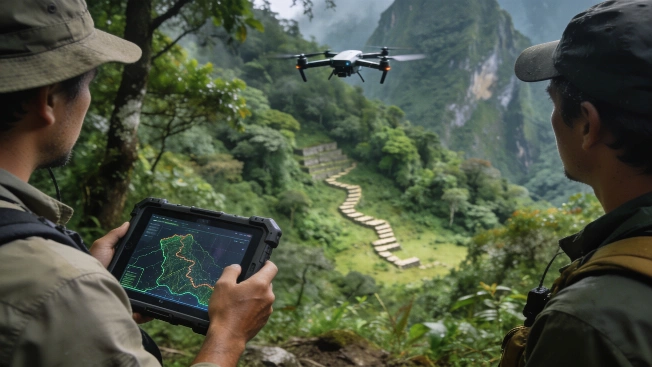
LiDAR survey uncovers hidden Inca roads near Machu Picchu
Archaeologists using drone-based LiDAR have mapped over 2.5 kilometers of previously undocumented pre-Columbian roads and terraces beneath rainforest near Machu Picchu, challenging assumptions about the extent of Inca landscape development
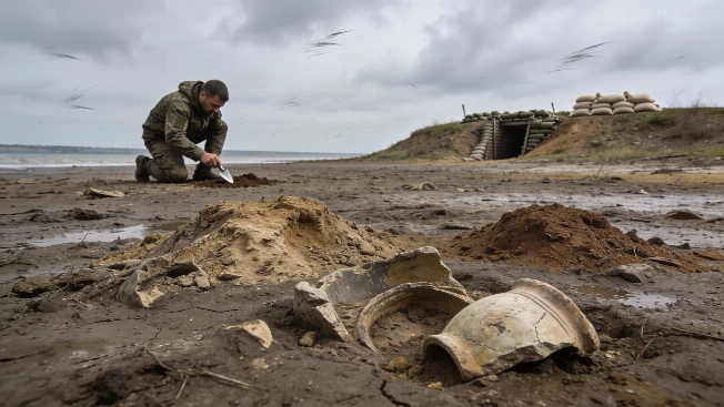
Archaeological Sites Emerge as Kakhovka Reservoir Drains in Ukraine
As the Kakhovka Reservoir in Ukraine recedes, archaeologists warn that prehistoric and Cossack-era sites are being revealed-but ongoing conflict and looting threaten their preservation and study.
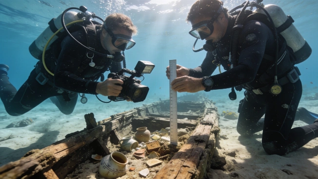
Red Sea shipwrecks mapped as Saudi underwater heritage emerges
Archaeologists have identified more than 25 underwater sites along Saudi Arabia's Red Sea coast using sonar and photogrammetry, uncovering shipwrecks and submerged structures that document ancient trade and migration routes.
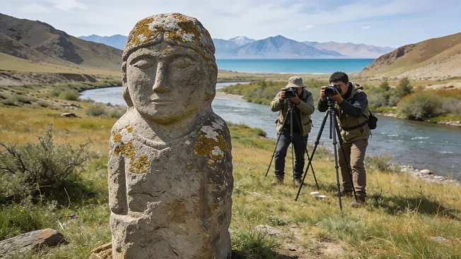
Turkic Stone Statue Documented in Dzhuuku Valley Near Issyk-Kul
A previously undocumented Turkic stone statue has been recorded in situ near Lake Issyk-Kul in Kyrgyzstan using photogrammetry, contributing to a growing digital archive of early medieval monuments and raising questions about preservation and context
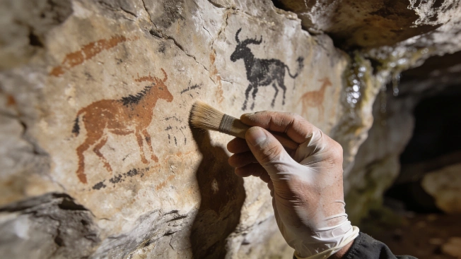
Ice Age cave art in Ireland suggests earlier human arrival
Archaeologists have identified prehistoric engravings and paintings in eight caves in southwest Ireland, potentially extending the earliest evidence for human presence on the island by 5,000 years and raising new questions about Ice Age migration routes
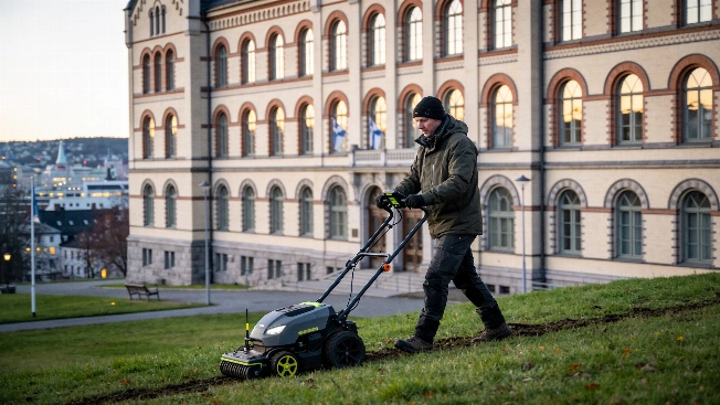
Medieval Monastery Choir Mapped Beneath Oslo Using Ground-Penetrating Radar
Archaeologists have identified the buried choir of a Franciscan monastery church beneath Oslo Hospital using ground-penetrating radar, revealing foundations, possible graves, and a lost cemetery without excavation
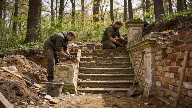
Nineteenth-Century Structures Uncovered Beneath Warsaw's Morysin Park
Archaeologists have revealed the remains of 19th-century buildings, including walls, floors, and a stone staircase, during excavations in Warsaw's Morysin Park, offering new evidence for the park's architectural history and preservation challenges
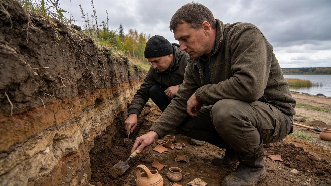
Medieval Galich Fortress Reinterpreted by New Archaeological Evidence
Recent excavations and LiDAR analysis at Galich's fortified settlements indicate that the Lower Settlement's major defenses were likely constructed in the 15th century, challenging the long-held view of a 12th-century origin
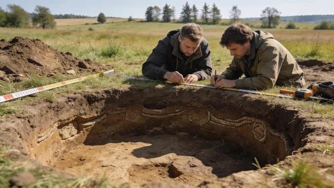
6,500-Year-Old Ritual Enclosure Predating Stonehenge Found in Czech Republic
Archaeologists have uncovered a Neolithic circular enclosure in Central Bohemia, dating to around 6,500 years ago, with entrances aligned to solar and lunar events. The site offers new evidence for early ritual landscapes in prehistoric Europe
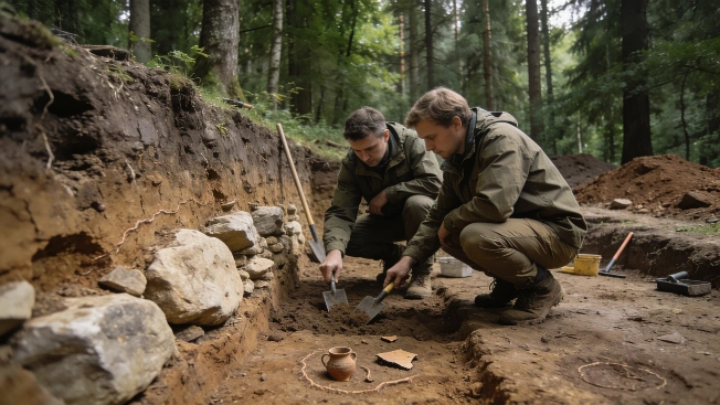
5,500-Year-Old Megalithic Tomb Excavated in Western Poland
Archaeologists have begun targeted excavations of a large earthen mound near Wyrzecz, western Poland, revealing evidence for a monumental tomb built by early farming communities over five millennia ago using megalithic construction techniques
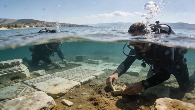
Underwater Church in Turkey Linked to Early Christian Council Debated
Archaeologists excavating beneath Lake İznik in Turkey have uncovered the remains of a small church beneath a later basilica. Some propose it hosted the First Council of Nicaea, but the evidence and dating remain contested.
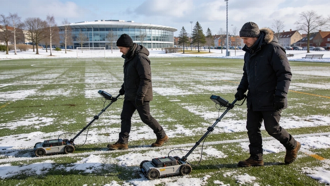
Medieval Monastery Remains Mapped Beneath Danish Football Field
Archaeologists in Roskilde, Denmark, have identified the buried remains of the 13th-century St Clara Monastery using ground-penetrating radar, revealing a well-preserved monastic layout beneath a modern sports field ahead of planned construction
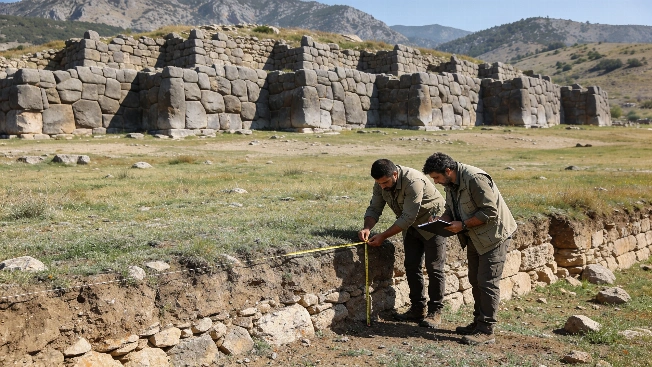
Ancient Fortress in Eastern Türkiye May Mark Urartian Expansion
Archaeologists have mapped a massive stone fortress near Mescidli in Muş Province, Türkiye, using satellite imagery and fieldwork to reveal defensive walls and architectural features that could shed light on the early Urartian state
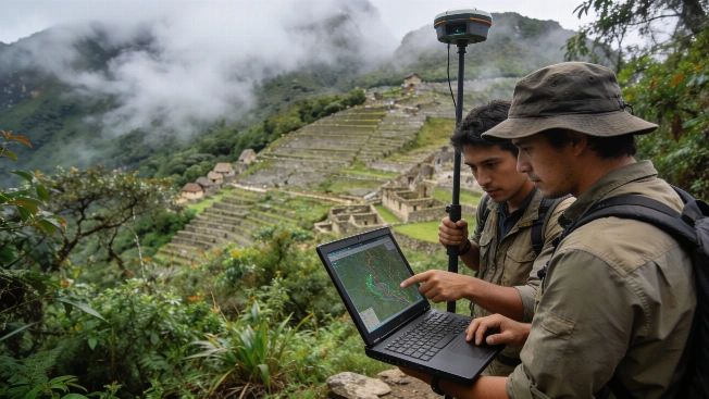
LiDAR Reveals Undocumented Ancient Roads Near Machu Picchu
Archaeologists have mapped over 2.5 kilometers of previously unknown pre-Hispanic roads and possible agricultural features near Machu Picchu using airborne LiDAR, offering new insight into the Inca landscape hidden beneath dense cloud forest vegetation.
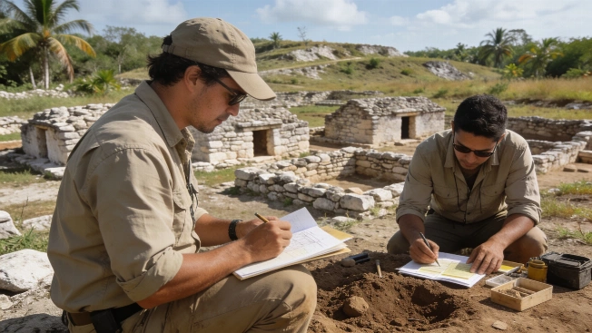
Maya Household Gardens Reveal Ancient Strategies for Food and Water
Archaeologists analyzing soils and settlement patterns in the Northern Maya Lowlands have identified evidence that ancient Maya households organized their domestic plots to support agriculture and manage rainwater, offering new insight into daily life beyond monumental centers
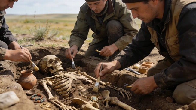
Kazakhstan Burials and Artifacts Reveal Ancient Steppe Trade Links
Recent excavations in Kazakhstan have uncovered Bronze Age and medieval burials, artifacts, and evidence of long-distance trade, offering new insight into the region's prehistoric communities and their connections across Eurasia
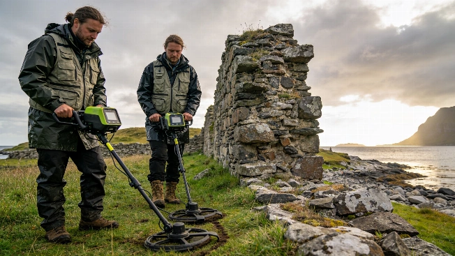
Medieval Stone Structure Discovered Outside Selja Monastery in Norway
Archaeologists using ground-penetrating radar have identified a substantial medieval stone wall outside the Selja monastery in western Norway, raising new questions about the scale and complexity of this early Christian site
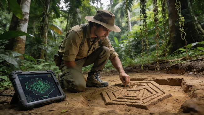
LiDAR Reveals Monumental Earthworks of Ancient Amazonian Society
Aerial LiDAR mapping in southwestern Amazonia has identified thousands of previously unknown monumental earthworks, expanding the known scale of pre-Columbian landscape engineering and challenging assumptions about ancient Amazonian population density
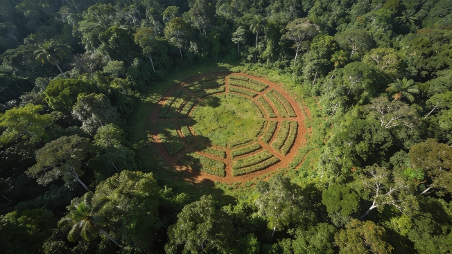
LiDAR Uncovers Hundreds of Ancient Geoglyphs in Amazon Rainforest
Aerial laser scanning has revealed nearly 400 previously unknown earthworks beneath the Amazon rainforest canopy, offering new evidence for the scale and organization of the Aquiry society that flourished in western Brazil over two millennia ago
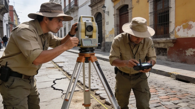
Aztec Sacred Precinct Mapped Beneath Mexico City Streets
Archaeologists have completed a detailed altimetric survey of Mexico City's historic center, revealing subtle surface changes that correspond to buried Aztec ceremonial structures and informing future heritage protection
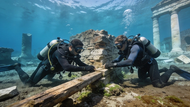
Submerged Roman Port at Puteoli Reveals Ancient Trade Infrastructure
Archaeologists are mapping the underwater remains of Puteoli, Rome's early commercial port, using advanced survey methods to document warehouses, workshops, and a rare Nabataean temple preserved beneath the Bay of Naples
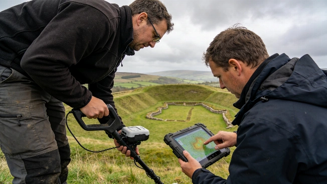
Haughey's Fort Reveals Monumental Bronze Age Power Center in Ireland
A new study using lidar, geophysics, and excavation at Haughey's Fort in County Armagh has identified over 200 timber structures and a vast enclosure, challenging assumptions about prehistoric Ireland's social complexity
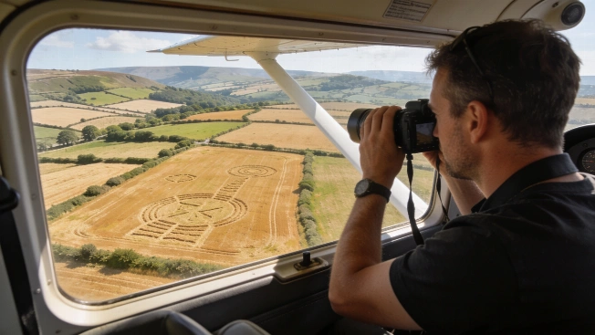
Heatwave Uncovers Ancient Monuments and Buried Sites Across Wales
Aerial archaeological surveys during an extended Welsh heatwave have revealed prehistoric barrows, Iron Age enclosures, Roman buildings, and First World War trenches as cropmarks and parchmarks, offering new insights into the region's archaeological landscape
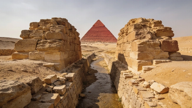
Ancient Dams Near Egypt's Red Pyramid May Reveal Water Management
A new study reinterprets two large stone structures near the Red Pyramid at Dahshur as ancient dams, not ramps, using satellite imagery and hydrological modeling to propose a sophisticated water management system over 4,500 years ago
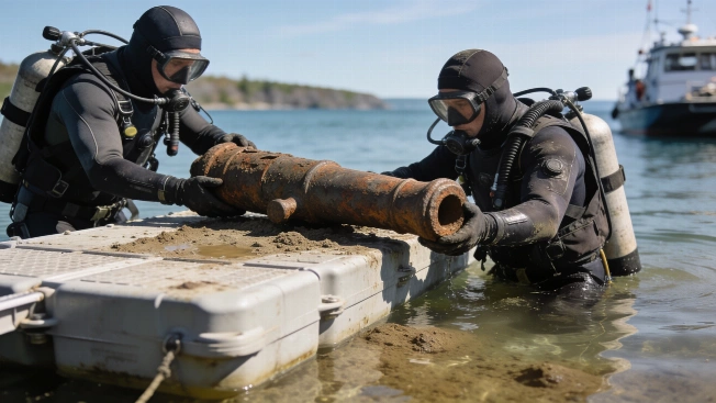
Final Revolutionary War Cannon Fragment Recovered from Lake Champlain
Archaeologists have retrieved the last known fragment of a Revolutionary War-era cannon from Lake Champlain, closing a decades-long search and providing new evidence for the Battle of Valcour Island's archaeological record
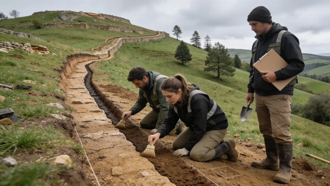
Roman Siege Network at La Loma Larger Than Previously Known
Archaeologists have identified a seventh Roman military camp near the Iron Age hill fort of La Loma in northern Spain, revealing a more extensive siege network during the Cantabrian Wars than earlier evidence suggested
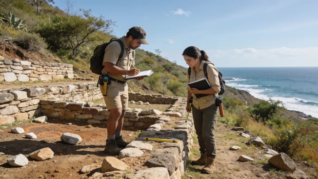
Indigenous Settlements in Guerrero Survived Spanish Conquest
Archaeologists in Mexico have identified two Indigenous settlements in Guerrero that remained occupied after the Spanish conquest, using ground surveys and drone mapping to document their survival into the late 16th century
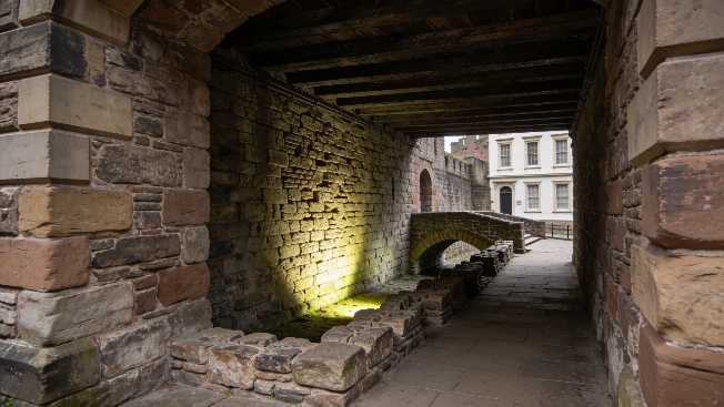
Digital Survey Reveals Medieval Bridge Remains at Chester Castle
Archaeologists using advanced digital scanning have identified the remains of a 13th-century bridge beneath Chester Castle in England, challenging previous assumptions about the site's medieval architecture and preservation
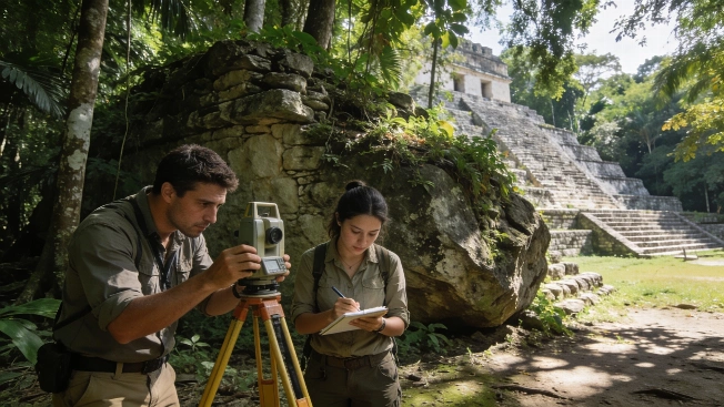
Survey Reveals Monumental Maya City at El Yesal in Campeche
Archaeologists have mapped and documented El Yesal, a major Maya settlement in Mexico's Balam kú Biosphere Reserve, using field survey and excavation to clarify its origins, architecture, and occupation history