A new study using lidar, geophysics, and excavation at Haughey's Fort in County Armagh has identified over 200 timber structures and a vast enclosure, challenging assumptions about prehistoric Ireland's social complexity
Recent archaeological research at Haughey's Fort in County Armagh, Northern Ireland, has produced evidence that the site was a major center of power, production, and ritual during the Late Bronze Age. Published in Antiquity, the study integrates lidar mapping, geophysical survey, targeted excavation, and archival analysis to reassess the landscape and chronology of this hillfort, first established around 1200 BCE. The findings suggest that Haughey's Fort played a central role in regional organization centuries before the rise of Navan Fort as a ceremonial hub.
Evidence for Monumental Architecture
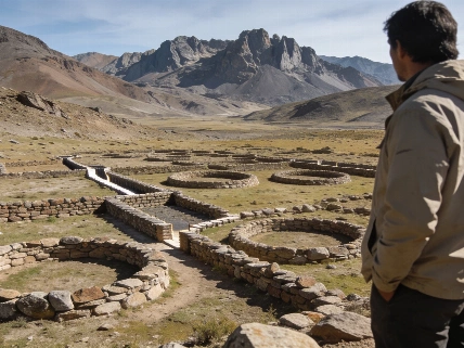
Analysis of remote sensing and excavation data revealed more than 200 probable timber structures within the boundaries of Haughey's Fort. Among these, several large circular buildings stand out for their scale and layout, with dimensions and arrangements consistent with ceremonial or institutional use. The density and diversity of structures indicate a substantial, organized population, contrasting with the dispersed farmsteads typical of much of prehistoric Ireland.
Material evidence from the site includes extensive remains of bronze and gold working, as well as imported artifacts of continental European origin. These finds point to specialist craft production and participation in long-distance trade networks. The presence of high-status metalwork and imported goods supports the interpretation of Haughey's Fort as a locus of both economic and political activity.
The Creeveroe Earthworks and Regional Scale
One of the most significant discoveries concerns the Creeveroe Earthworks, previously interpreted as a ceremonial boundary. New lidar and geophysical surveys demonstrate that these earthworks form a vast enclosure of approximately 109 hectares, encircling Haughey's Fort and making it one of the largest known prehistoric hillforts in Britain and Ireland. The enclosure incorporates burial monuments and deposits of high-status metalwork along its perimeter, suggesting functions beyond defense, including the expression of territorial authority and ancestral identity.
Researchers estimate that the enclosure's scale and integration of ritual and funerary features reflect a complex social landscape. The monumental architecture and concentration of specialist production at Haughey's Fort have led the team to identify the site as a strong example of Bronze Age "proto-urbanism" in northwestern Europe. This interpretation is supported by the site's size, organization, and evidence for coordinated ceremonial activity.
Ritual Landscapes and Interconnected Sites
Geophysical survey has also revealed a palisade-lined avenue, approximately 87 meters long, connecting Haughey's Fort to the nearby King's Stables, an artificial pool interpreted as a ritual feature. Previous excavations at the King's Stables recovered molds for casting bronze swords, animal remains, and fragments of a human skull, indicating ritual deposition rather than domestic use. The new evidence suggests that Haughey's Fort and the King's Stables formed a unified ceremonial complex, with processional or ritual movement between the two monuments.
The integration of settlement, craft production, monumental enclosure, and ritual features at Haughey's Fort challenges traditional models of Bronze Age Ireland as dominated by small, isolated communities. Instead, the evidence points to a highly organized, interconnected society with regional centers of authority and participation in broader European exchange networks. Comparable discoveries of ritual and elite activity at other sites, such as the Hellenistic complex at Gradište in North Macedonia, further illustrate the diversity of prehistoric ceremonial landscapes across Europe (see analysis of ritual dining complexes in the Balkans).
Interpreting the Archaeological Record
The authors of the study conclude that Haughey's Fort, the King's Stables, and the Creeveroe Earthworks together formed a monumental complex serving as a regional hub for political, economic, and ritual activity during the Late Bronze Age. The evidence for large-scale enclosure, specialist production, and ceremonial architecture demonstrates that complex, organized communities with international connections existed in Ireland centuries before the Iron Age. However, the interpretation of function and social organization remains dependent on the preservation and context of the archaeological record, and alternative explanations for the use of monumental enclosures and ritual features cannot be excluded.
Numerical data from the study highlight the exceptional scale of the site: over 200 probable timber structures identified within the hillfort, a 109-hectare enclosure, and an 87-meter avenue linking the fort to a ritual pool. These measurements place Haughey's Fort among the largest and most complex prehistoric sites in the region, with implications for understanding the emergence of social complexity in Bronze Age Europe.
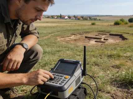
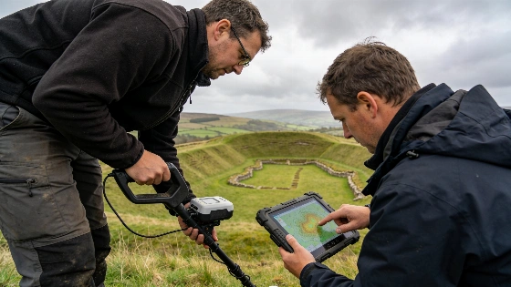
LiDAR (Light Detection and Ranging) has become a transformative tool in archaeological landscape analysis. By emitting laser pulses from an aircraft and measuring their return time, lidar can generate high-resolution digital elevation models that reveal subtle earthworks and buried features beneath vegetation. In the case of Haughey's Fort, lidar allowed researchers to map the full extent of the Creeveroe Earthworks and identify previously unrecognized architectural features. However, lidar data require careful ground verification, as not all anomalies correspond to archaeological remains. The integration of lidar with geophysical survey and targeted excavation provides a robust framework for reconstructing ancient landscapes and interpreting their social and ceremonial significance.