Archaeologists have mapped and documented El Yesal, a major Maya settlement in Mexico's Balam kú Biosphere Reserve, using field survey and excavation to clarify its origins, architecture, and occupation history
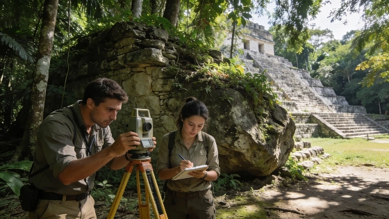
Archaeological fieldwork in the Balam kú Biosphere Reserve of Campeche, Mexico, has produced the first comprehensive survey of El Yesal, a large Maya settlement previously identified through airborne LiDAR but not systematically investigated on the ground. The project, led by researchers from the Research Centre of the Slovenian Academy of Sciences and Arts and authorized by Mexico's National Institute of Anthropology and History, focused on mapping, architectural documentation, and targeted excavation to establish the site's chronology and function.
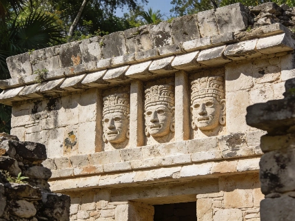
El Yesal is situated within dense tropical forest, complicating both access and visibility. Earlier remote sensing had indicated the presence of monumental architecture, but the extent and character of the site remained uncertain. The recent survey confirmed that the core monumental area covers more than one square kilometer, with a central acropolis constructed atop a square platform measuring approximately 150 meters per side and rising 15 meters above the surrounding terrain. Four pyramidal structures stand on this platform, the tallest reaching 27 meters above the upper surface, indicating significant labor investment and architectural planning.
Chronology and Material Evidence
Test excavations within the Great Acropolis and the North Acropolis yielded ceramic assemblages attributed to the Mamom and Chicanel phases, suggesting initial occupation during the Middle to Late Preclassic period, approximately 600 BCE to 200 CE. The ceramics provide the primary basis for dating, as no direct radiocarbon dates have yet been reported. The site appears to have remained occupied through the Early Classic and experienced substantial expansion during the Late Classic period (c. 600-900 CE), when new plazas, monumental buildings, and artificial terraces were constructed, particularly in the northern sector.
Archaeologists also identified outlying hilltop complexes with embankments and terraces, interpreted as possible defensive features. The spatial organization and architectural forms at El Yesal show similarities to other major Maya centers, including Edzná, especially during periods influenced by the Petén region. However, the precise nature of these connections remains under investigation.
Architectural Features and Interpretation
Among the most notable finds is a weathered stone stela, documented using high-resolution photogrammetry. Although surface erosion has obscured much of the carving, three-dimensional modeling revealed the figure of a ruler holding a ceremonial staff and wearing a headdress associated with Yopaat, the Maya storm deity. Epigraphic analysis suggests that the divine imagery may have formed part of the ruler's name or royal identity, but the incomplete preservation limits further interpretation.
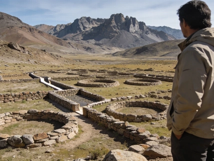
Researchers also recorded a series of low, elongated structures arranged in concentric rectangular or circular layouts adjacent to the Great Acropolis. These "nested complexes" resemble the Chiik Nahb complex at Calakmul and are interpreted as possible marketplaces, offering new perspectives on the economic organization of the settlement. The function of these spaces remains provisional pending further excavation and analysis.
Regional Context and Preservation
The survey was conducted in collaboration with local authorities and the Balam kú Biosphere Reserve, which is part of the Great Maya Forest Biocultural Corridor established to connect protected landscapes across Mexico, Guatemala, and Belize. The dense forest cover has preserved many ancient features but also presents challenges for archaeological access and documentation. Many settlements in the region remain largely unexplored beneath the vegetation, and El Yesal's investigation highlights both the potential and the limitations of current research in this environment.
Measured data from the fieldwork indicate that El Yesal's monumental core extends over at least one square kilometer, with the main acropolis platform measuring 150 by 150 meters and rising 15 meters above ground level. The tallest pyramid reaches 27 meters in height. Ceramic evidence places the earliest occupation between 600 BCE and 200 CE, with major construction phases continuing into the Late Classic period. The site's scale and architectural complexity suggest it served as a significant regional center, likely interacting with neighboring Maya cities such as Calakmul, Balamkú, and Uitzilná.
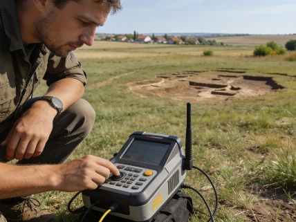
LiDAR (Light Detection and Ranging) has become a critical tool for identifying ancient settlements in tropical regions where dense vegetation obscures surface features. By emitting laser pulses from aircraft and measuring their return times, LiDAR generates high-resolution elevation models that can reveal architectural remains invisible to the naked eye. However, remote sensing data must be verified through ground survey and excavation to confirm the archaeological nature of mapped features, establish chronology, and recover material evidence. The El Yesal project demonstrates the value of integrating LiDAR with traditional field methods to advance understanding of ancient Maya settlement patterns and urban development.