Archaeologists in Mexico have identified two Indigenous settlements in Guerrero that remained occupied after the Spanish conquest, using ground surveys and drone mapping to document their survival into the late 16th century
Archaeological fieldwork in the Costa Grande region of Guerrero, Mexico, has identified two Indigenous settlements that remained inhabited for decades after the Spanish conquest, providing new evidence for the persistence and adaptation of local communities during the early colonial period. The research, conducted by specialists from Mexico's National Institute of Anthropology and History (INAH), was carried out in advance of planned highway expansion and focused on previously undocumented sites in a region shaped by shifting political and cultural boundaries.
Surveying the Costa Grande
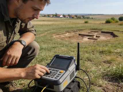
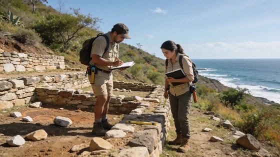
The two sites, Camutla and Sacualpan, were located through a combination of ground survey and drone-based mapping between 25 and 30 March 2026. Both settlements were occupied during the Late Postclassic period and continued to be inhabited after the arrival of the Spanish, with evidence suggesting abandonment only at the end of the 16th century. The survey aimed to assess the potential impact of road construction on archaeological remains and to establish protective measures for sites at risk.
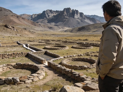
At Camutla, near the present-day community of El Chico (Capire), archaeologists documented 39 architectural features distributed across approximately eight hectares. The site includes terraces, ceremonial spaces, retaining walls, residential areas, and small stone stelae, some of which remain upright. Oral traditions and 16th-century historical records both identify the area as Camutla, and its location matches references in the Geographical Relations and the Ortelius Map. The settlement's occupation is estimated to span from around 1200 CE to the late 1500s, based on architectural style and documentary sources.
Sacualpan and Regional Context
The second site, previously known as Los Ticuiches, has now been identified as the historic Tolimeca settlement of Sacualpan. Its most prominent feature is a large platform measuring roughly 160 by 110 meters, accompanied by an elongated L-shaped platform and numerous residential mounds. Eroded red pottery fragments and the spatial arrangement of ceremonial and domestic areas suggest a complex settlement structure. The identification of Sacualpan is supported by both archaeological evidence and historical documentation.
Before European contact, the Costa Grande region was a frontier zone inhabited by the Tolimecas and Chumbias, bordering the territories of the Pantecos and Cuitlatecas. The area was influenced by both the Aztec Triple Alliance and the Purépecha Empire, resulting in distinctive settlement patterns not found elsewhere along the Pacific coast of Guerrero. The survival of Camutla and Sacualpan into the colonial period offers a rare opportunity to study Indigenous responses to conquest, including adaptation to new administrative and taxation systems imposed by New Spain.
Archaeological Protection and Broader Implications
In total, the survey team visited several additional sites, including La Parotita, El Huérfano, La Palanca, Los Metates, La Salada, Las Peñas, Las Arañas, Zorcua, and Los Azufres. Four of these were determined to be close enough to the planned highway route to require special protection zones. Collaboration between INAH and local authorities is ongoing to ensure the conservation of these archaeological remains and to integrate heritage protection into infrastructure planning from the outset.
Documenting the survival of Camutla and Sacualpan contributes to a growing body of evidence on Indigenous resilience and transformation during the early colonial era. The findings highlight the importance of systematic archaeological assessment in regions undergoing rapid development. Similar approaches have yielded insights elsewhere, such as the analysis of early Roman connections in Britain described in recent research on Iron Age cemeteries in England, demonstrating the value of integrating archaeological investigation with modern infrastructure projects.
Settlement Evidence and Chronology
The Camutla site preserves 39 documented structures across eight hectares, including ceremonial and residential features. Sacualpan's main platform measures approximately 160 by 110 meters, with additional elongated platforms and residential mounds. Both settlements show evidence of continuous occupation from the Late Postclassic period (c. 1200 CE) through the late 16th century, based on architectural analysis and historical sources. The archaeological inspection was conducted over a five-day period in March 2026, using both ground survey and drone mapping to record site features and assess preservation.
Researchers emphasize that the identification of these settlements provides direct evidence for the persistence of Indigenous communities during a period of intense social and political change. However, the absence of extensive excavation and the reliance on surface survey mean that many aspects of daily life, population size, and internal organization remain to be investigated. The results will inform future decisions about conservation and management of archaeological heritage in the region.
Archaeological survey is a systematic method for identifying, recording, and assessing sites across a landscape, often used in advance of construction or land development. Ground survey involves walking the area to locate visible features, while drone mapping provides aerial imagery to detect patterns not easily seen from the ground. These methods are especially valuable in regions where dense vegetation or modern land use obscure archaeological remains. Survey data can guide further excavation, inform heritage protection, and help reconstruct settlement patterns over time, but it is limited by surface visibility and does not replace the need for controlled excavation to recover detailed evidence.