Aerial LiDAR mapping in southwestern Amazonia has identified thousands of previously unknown monumental earthworks, expanding the known scale of pre-Columbian landscape engineering and challenging assumptions about ancient Amazonian population density
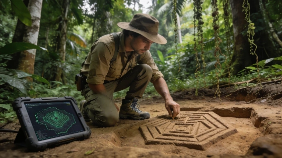
Recent research using airborne LiDAR (Light Detection and Ranging) technology has mapped an extensive network of monumental earthworks beneath the rainforest canopy of southwestern Amazonia, revealing a scale of pre-Columbian landscape modification not previously documented. The study, published in Nature, combined high-resolution LiDAR data with satellite imagery to identify geometric enclosures, embankments, and ceremonial complexes across the Brazilian states of Acre and Amazonas. These findings suggest that the Aquiry society, active between approximately 600 BCE and 850 CE, constructed thousands of large-scale earthworks that have remained largely invisible under dense forest cover.
Mapping Hidden Landscapes
The research team conducted over 4,400 kilometers of LiDAR survey flights, digitally removing vegetation to expose ground features. This approach identified 432 earthworks, of which only 36 had been previously recorded through ground survey or satellite imagery. The LiDAR data revealed that geometric enclosures-circular, square, and polygonal-were distributed across a much wider area than earlier estimates suggested. Based on the density of detected features, the authors estimate that between 24,000 and 30,000 monumental earthworks and related landscape modifications may exist in the region, indicating a far more complex and populous pre-Columbian society than traditionally assumed.
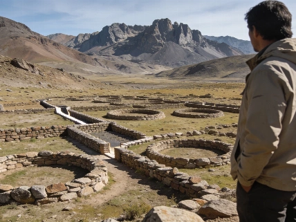
These earthworks are interpreted as ceremonial, political, or social centers rather than permanent settlements or defensive structures. Their construction required significant labor and coordination, reflecting organized community activity and landscape planning. The monuments date from the late first millennium BCE through the middle of the first millennium CE, with the peak of construction activity estimated between 100 and 300 CE.
Population and Land Use
Analysis of the spatial distribution and scale of the earthworks led researchers to revise estimates of the Aquiry society's territorial extent. The newly mapped area covers approximately 183,000 square kilometers-three times larger than previous estimates. Population models based on the density and distribution of monumental sites suggest that the region could have supported between 1.25 and 3 million people at its peak. This challenges the long-standing view that the pre-Columbian Amazon was sparsely inhabited and minimally altered by human activity.
Archaeobotanical and environmental evidence from the region indicates that ancient communities practiced intensive agriculture, cultivating crops such as maize, squash, manioc, beans, and peanuts. They also managed economically important tree species, including Brazil nut and peach palm, contributing to the biodiversity and ecological structure of the modern Amazon rainforest. These findings are consistent with other research on ancient Amazonian subsistence, such as stable isotope studies of maize-based farming in the Cerrado region (see related analysis).
Remote Sensing and Archaeological Interpretation
The application of LiDAR technology has transformed the ability to detect archaeological features in densely forested environments. In this study, LiDAR identified approximately five times more earthworks than satellite imagery alone, demonstrating the limitations of traditional remote sensing in tropical regions. However, while LiDAR can reveal the shape and extent of surface features, ground verification remains essential to confirm their archaeological origin and function. The majority of newly identified earthworks have not yet been excavated, and their precise chronology and use require further investigation.
The discovery of such extensive landscape engineering supports a growing consensus that pre-Columbian Amazonian societies actively shaped their environment through agriculture, settlement planning, and monument construction. If similar earthwork complexes are found elsewhere in Amazonia, current models of ancient population size, land use, and ecological impact may require substantial revision. The findings also have implications for understanding the origins of Amazonian biodiversity and the resilience of Indigenous land management practices.
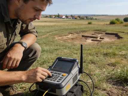
LiDAR (Light Detection and Ranging) is a remote sensing method that uses laser pulses from an aircraft or drone to measure distances to the ground surface. By recording the time it takes for each pulse to return, LiDAR generates detailed three-dimensional models of terrain, even beneath dense vegetation. In archaeology, LiDAR is especially valuable for detecting earthworks, settlement patterns, and landscape modifications that are otherwise obscured by forest or ground cover. However, LiDAR data must be interpreted with caution, as not all detected features are necessarily of human origin, and ground-truthing is required to confirm archaeological significance.