Archaeologists have completed a detailed altimetric survey of Mexico City's historic center, revealing subtle surface changes that correspond to buried Aztec ceremonial structures and informing future heritage protection
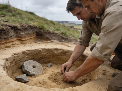
Archaeologists from Mexico's National Institute of Anthropology and History (INAH) have completed the first comprehensive altimetric survey of the area once occupied by the sacred precinct of Mexico-Tenochtitlan, the Aztec capital. This project, part of the Urban Archaeology Programme (PAU), aims to identify and protect pre-Hispanic architectural remains that lie beneath the densely built environment of Mexico City's historic center.
Surveying the Buried Landscape
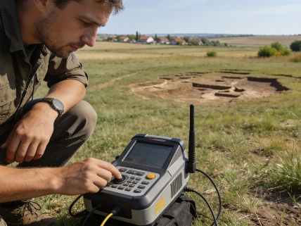
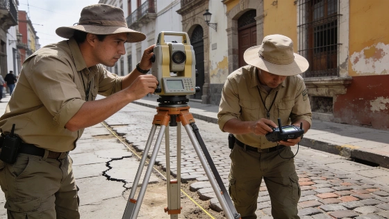
Rather than relying solely on excavation, the research team systematically recorded thousands of elevation points across approximately 450 meters on each side of the former ceremonial precinct. The survey area includes major streets such as San Ildefonso, Luis González Obregón, Correo Mayor, El Carmen, Monte de Piedad, and República de Brasil, as well as the vicinity of the National Palace and Metropolitan Cathedral. Fieldwork began in May 2025 and concluded in March 2026, with surveyors using Leica and Sokkia total stations and topographic GPS equipment to achieve millimeter-level precision. Areas with pronounced rises or depressions were measured at higher density to capture subtle ground variations.
The resulting data were processed using AutoCAD to generate a detailed digital terrain model. Researchers focused on identifying surface anomalies-such as changes in street gradient, building inclination, and structural cracks-that may correspond to the buried walls and foundations of the Aztec ceremonial precinct, which was largely destroyed and overbuilt following the Spanish conquest in the 16th century.
Interpreting Surface Anomalies
Previous excavations in the historic center have shown that visible fractures in modern buildings often align with the edges of pre-Hispanic foundations. By systematically documenting these features, the team was able to propose the likely layout of major ceremonial structures without intrusive excavation. The survey's predictive model will be combined with historical records, prior archaeological findings, and excavation data to map areas where buried monuments and architectural remains are most likely to survive.
According to the project's archaeologists, this approach is expected to improve heritage management by allowing planners and construction teams to anticipate the presence of archaeological remains before starting new infrastructure projects. The predictive mapping model is intended as a planning tool to minimize accidental damage to one of Mexico's most significant archaeological landscapes.
Integrating Archaeological and Historical Evidence
The survey builds on decades of archaeological work in Mexico City's historic center, where recurring patterns have been observed between modern structural deformation and the presence of buried architecture. The project involved collaboration between the Urban Archaeology Programme and INAH's Directorate of Public Registry of Monuments and Archaeological Zones, with contributions from archaeologists, architects, survey specialists, and technical staff.
While the survey does not directly excavate or expose buried remains, it provides a non-invasive method for identifying areas of high archaeological potential. This approach complements other recent advances in Mesoamerican archaeology, such as the reconstruction of early Maya calendrical inscriptions at Calakmul, which was recently reported in a study of mural evidence from Calakmul. Together, these projects demonstrate the value of integrating remote sensing, surface analysis, and historical documentation to reconstruct ancient urban landscapes beneath modern cities.
Implications for Heritage Protection
Researchers emphasize that the new digital terrain model is not a substitute for excavation but a tool for prioritizing future research and conservation. The model's predictive capacity will help authorities balance urban development with the need to preserve archaeological heritage. Claudia Curiel de Icaza, Secretary of Culture of Mexico, described the project as an unprecedented investigation that will contribute to a fuller understanding of the surviving traces of Tenochtitlan and support long-term heritage management.
The survey's findings highlight the challenges of protecting archaeological remains in urban environments, where centuries of construction and infrastructure have altered the original landscape. By providing a detailed map of surface anomalies linked to buried architecture, the project offers a practical framework for integrating archaeological evidence into city planning and heritage protection.
Altimetric survey is a non-invasive archaeological method that measures subtle changes in ground elevation to detect buried structures. In urban settings, this technique can reveal the presence of ancient walls, foundations, or other features without disturbing the overlying buildings or streets. The method relies on precise geodetic instruments and digital modeling to interpret surface anomalies, but its results must be confirmed through targeted excavation or corroborated with historical and archaeological records. Altimetric data are especially valuable in cities where direct excavation is limited by modern development, offering a way to map and protect heritage that would otherwise remain inaccessible.