
LiDAR Archaeology
9 reportsA source-based view of LiDAR Archaeology considers spatial or chronological resolution, validation with excavation evidence, and sources of error. Judgments about validation with excavation evidence are tied to blind or comparative tests and integration with excavation records rather than prominence or repetition; confidence is limited by the fact that disturbance, contamination, and incomplete context can narrow what the method establishes.
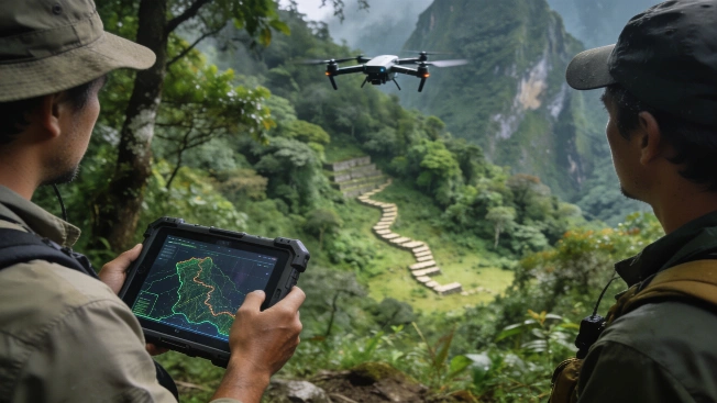
LiDAR survey uncovers hidden Inca roads near Machu Picchu
Archaeologists using drone-based LiDAR have mapped over 2.5 kilometers of previously undocumented pre-Columbian roads and terraces beneath rainforest near Machu Picchu, challenging assumptions about the extent of Inca landscape development
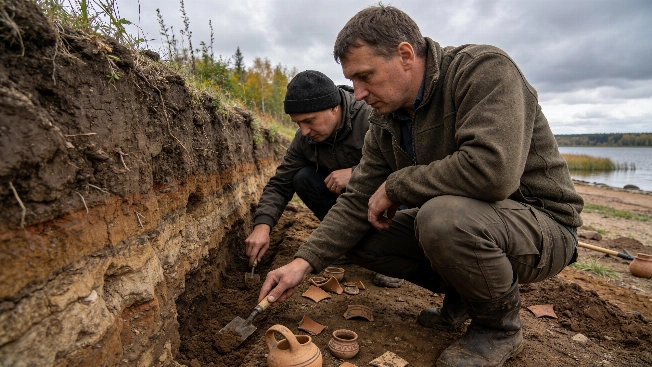
Medieval Galich Fortress Reinterpreted by New Archaeological Evidence
Recent excavations and LiDAR analysis at Galich's fortified settlements indicate that the Lower Settlement's major defenses were likely constructed in the 15th century, challenging the long-held view of a 12th-century origin
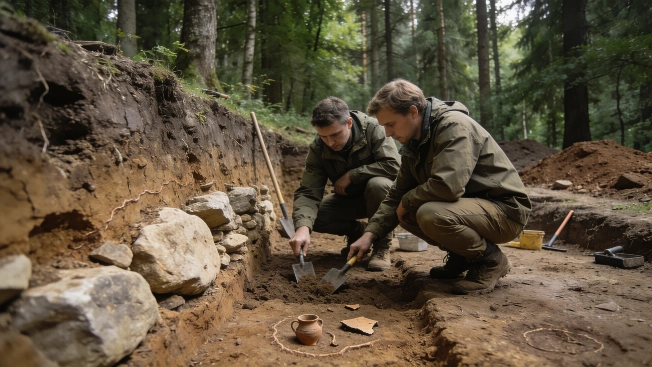
5,500-Year-Old Megalithic Tomb Excavated in Western Poland
Archaeologists have begun targeted excavations of a large earthen mound near Wyrzecz, western Poland, revealing evidence for a monumental tomb built by early farming communities over five millennia ago using megalithic construction techniques
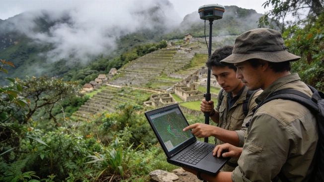
LiDAR Reveals Undocumented Ancient Roads Near Machu Picchu
Archaeologists have mapped over 2.5 kilometers of previously unknown pre-Hispanic roads and possible agricultural features near Machu Picchu using airborne LiDAR, offering new insight into the Inca landscape hidden beneath dense cloud forest vegetation.
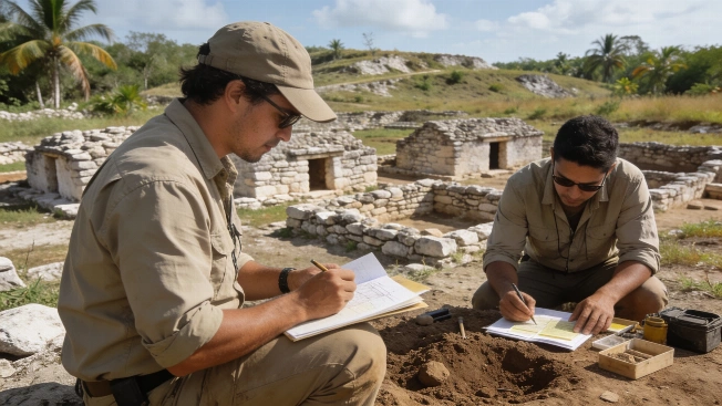
Maya Household Gardens Reveal Ancient Strategies for Food and Water
Archaeologists analyzing soils and settlement patterns in the Northern Maya Lowlands have identified evidence that ancient Maya households organized their domestic plots to support agriculture and manage rainwater, offering new insight into daily life beyond monumental centers
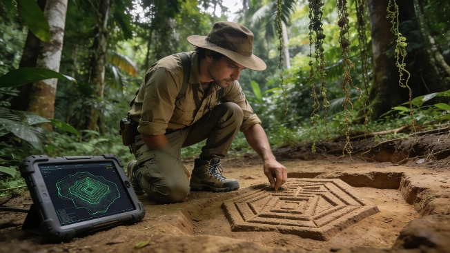
LiDAR Reveals Monumental Earthworks of Ancient Amazonian Society
Aerial LiDAR mapping in southwestern Amazonia has identified thousands of previously unknown monumental earthworks, expanding the known scale of pre-Columbian landscape engineering and challenging assumptions about ancient Amazonian population density
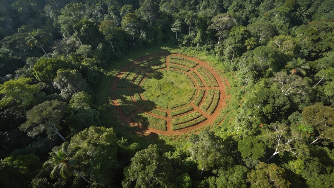
LiDAR Uncovers Hundreds of Ancient Geoglyphs in Amazon Rainforest
Aerial laser scanning has revealed nearly 400 previously unknown earthworks beneath the Amazon rainforest canopy, offering new evidence for the scale and organization of the Aquiry society that flourished in western Brazil over two millennia ago
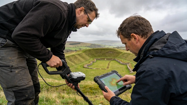
Haughey's Fort Reveals Monumental Bronze Age Power Center in Ireland
A new study using lidar, geophysics, and excavation at Haughey's Fort in County Armagh has identified over 200 timber structures and a vast enclosure, challenging assumptions about prehistoric Ireland's social complexity
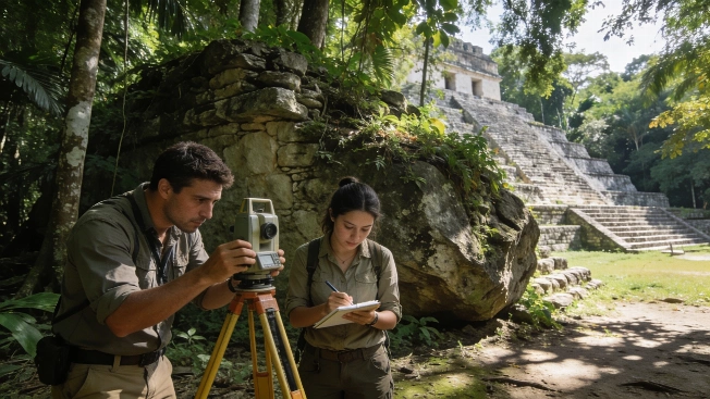
Survey Reveals Monumental Maya City at El Yesal in Campeche
Archaeologists have mapped and documented El Yesal, a major Maya settlement in Mexico's Balam kú Biosphere Reserve, using field survey and excavation to clarify its origins, architecture, and occupation history