Archaeologists analyzing soils and settlement patterns in the Northern Maya Lowlands have identified evidence that ancient Maya households organized their domestic plots to support agriculture and manage rainwater, offering new insight into daily life beyond monumental centers
Recent archaeological research in the Northern Maya Lowlands has provided new evidence that ancient Maya households deliberately shaped their immediate environments to support food production and water management. The findings, part of the Tren Maya Archaeological Salvage Project, focus on how pre-Hispanic communities adapted their domestic landscapes, moving beyond the monumental architecture that often dominates Maya studies.
Settlement Patterns and Environmental Adaptation
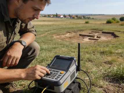
Investigations led by archaeologist Carlos Matos Llanes and colleagues at the Ateneo Peninsular in Mérida, Yucatán, have centered on four sites along Section 3 of the Tren Maya railway: Tepakán in Yucatán and Bécal I, II, and III in Campeche. These sites, located within the Northern Maya Lowlands, were analyzed using Geographic Information Systems (GIS) and high-resolution LiDAR data to reconstruct topography and hydrology. The research team examined soils and sediments to understand how ancient households organized their settlements in relation to the landscape.
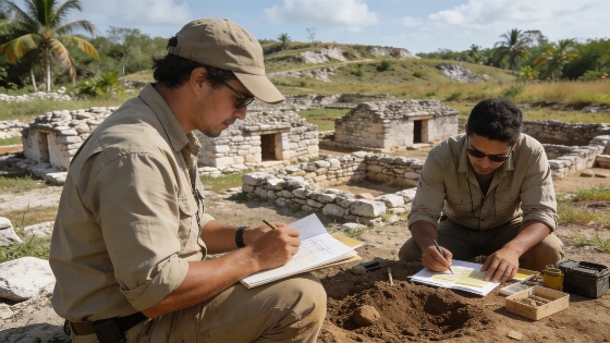
Excavations at these sites revealed clusters of 30 to 40 modest residential structures, each built directly on natural terrain. These clusters were separated by open spaces of approximately 200 meters. Rather than viewing these homes as isolated, the research considered the broader domestic plot, including open areas and productive gardens or orchards. This approach suggests that agriculture was central to household organization, with the spatial arrangement of homes and open land reflecting deliberate planning.
Water Management and Agricultural Practice
Preliminary GIS analysis indicates that Maya households were typically positioned on elevated ground, while lower-lying areas between clusters were left open. Slope analysis and hydrological modeling showed that these gradients helped channel rainwater, with water naturally collecting in the open spaces. Researchers propose that these low-lying areas were likely cultivated for household food production, and that any surplus may have been exchanged with neighboring communities. However, further archaeological and sedimentary evidence is needed to confirm the existence of such exchange networks.
Soil and sediment analysis from the sites is ongoing, with particular attention to phosphorus levels that could indicate ancient agricultural activity. The research team emphasizes that most daily activities in pre-Hispanic Maya communities likely took place in these open spaces rather than inside buildings, making the excavation of domestic plots critical for understanding subsistence and social organization.
Comparative Context and Broader Implications
The project is coordinated by archaeologists Manuel Pérez Rivas and Susana Echeverría as part of the wider investigations associated with the Tren Maya railway. The research highlights the sophistication of Maya environmental knowledge, particularly in managing water and soil for sustainable food production. According to Mexico's Secretary of Culture, these findings expand the historical narrative beyond monumental centers and bring attention to the daily practices that sustained Maya communities.
Similar approaches to mapping ancient urban landscapes have been used in other Mesoamerican contexts, such as the detailed altimetric survey of Mexico City's historic center, which revealed buried Aztec ceremonial structures and informed heritage protection strategies (see coverage of Aztec precinct mapping).
While the current evidence supports the interpretation that Maya households integrated agriculture and water management into their domestic plots, the researchers caution that further excavation and laboratory analysis are required to confirm the full extent of these practices and their role in local exchange networks. The ongoing work underscores the importance of household archaeology for reconstructing the lived experience of ancient populations.
LiDAR (Light Detection and Ranging) is a remote sensing technology that uses laser pulses to measure distances and generate high-resolution maps of surface features. In archaeological research, LiDAR can reveal subtle topographic changes and buried structures beneath dense vegetation, allowing researchers to identify settlement patterns, ancient roads, and landscape modifications that are not visible from the ground. However, LiDAR data must be interpreted alongside excavation and ground-truthing to confirm the archaeological significance of detected features. In the Maya Lowlands, LiDAR has been instrumental in reconstructing the organization of ancient settlements and understanding how communities interacted with their environment.