
Earth Science & Natural Hazards
26 reportsRisk assessment and volcanology are read together rather than as isolated findings. This makes it possible to address what monitoring can detect and how Earth processes are measured, showing how sparse measurements or incomplete records limit certainty.
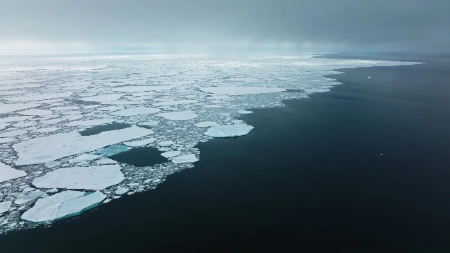
Arctic Sea Ice Reaches Its Preliminary 2026 Minimum at the 11th-Lowest Level
Arctic sea ice reached a preliminary 2026 minimum of 4.60 million square kilometers on Sept. 12. The estimate ranks 11th-lowest in the satellite record, although the final value and ranking remain subject to confirmation.
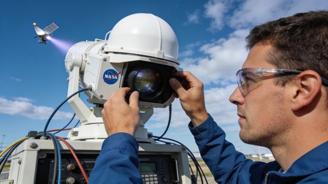
NASA tracks Earth's shifting center of mass with satellites
NASA scientists have measured how Earth's center of mass moves by millimeters each year as water, ice, and air shift across the globe, using satellite laser ranging and GPS data.

Solar Storm Forces Historians to Revise Timeline of Early Technology Disruption
A new review of historical records has corrected the date of a well-known 19th-century train delay caused by a solar storm, offering a clearer picture of how early electrical systems responded to space weather.

Landsat 8 Captures Anak Krakatau Eruption from Orbit
NASA and USGS's Landsat 8 satellite recorded Anak Krakatau's eruption as volcanic gas and ash reached the atmosphere, grounding flights and halting local activity while the volcano remains active
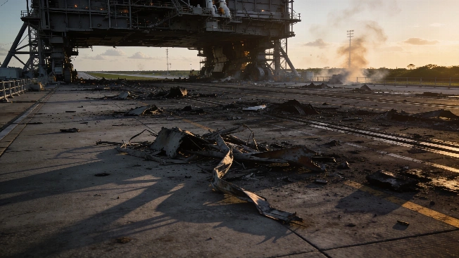
Blue Origin rocket blast detected over 1600 kilometers from Cape Canaveral
A Blue Origin New Glenn rocket explosion at Cape Canaveral produced infrasound waves detected more than 1600 kilometers away. Researchers used specialized sensors to estimate the blast's energy and assess its impact on launch operations and future missions.
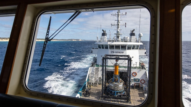
Quantum Gravimeter Demonstrates GPS-Free Navigation in Coral Sea Trial
Q-CTRL has field-tested a quantum gravimetric navigation system on open water, achieving 1-nautical-mile accuracy without GPS by combining cold-atom interferometry and classical sensors in a real maritime environment

NASA Funds Next-Phase Quantum Gravity Sensor for Space Testing
NASA has awarded Infleqtion a $20 million contract to advance a quantum gravity gradiometer, supporting hardware integration and microgravity testing for future Earth observation from orbit
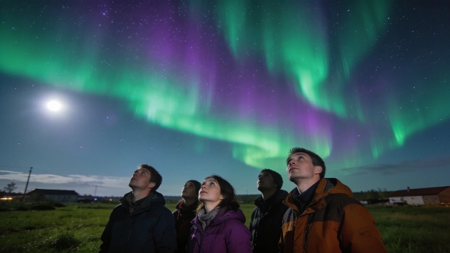
Earth-Facing Sunspot Fires M6.9 Flare and CME Toward Earth
A highly active sunspot has produced an M6.9-class solar flare and launched a coronal mass ejection toward Earth, raising the possibility of geomagnetic disturbances and enhanced auroral activity later this week
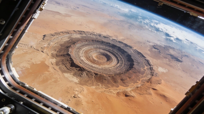
Richat Structure's Concentric Rings Imaged from the International Space Station
A new photograph from the International Space Station captures the Richat Structure, a 40-kilometer-wide geologic formation in Mauritania, revealing its striking concentric rings as seen from orbit
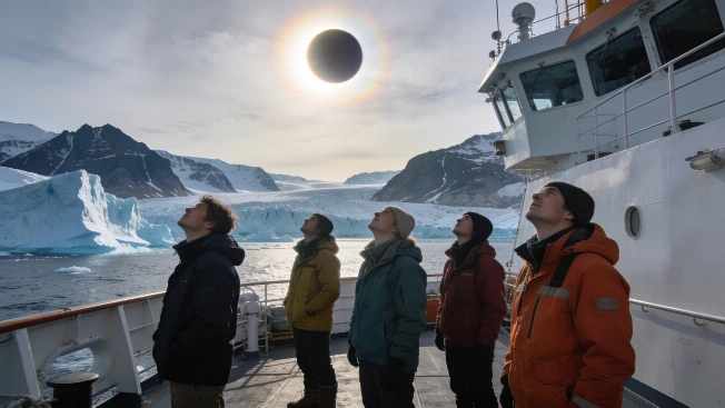
Total Solar Eclipse Observed Over Greenland's Remote Fjords
A rare total solar eclipse was observed from the deck of a research vessel in East Greenland, offering scientists and eclipse chasers a unique view of totality above icebergs and glaciers under clear Arctic skies
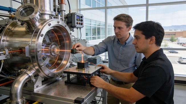
Infleqtion Plans Quantum Gravity Sensor Field Test in Colorado
Infleqtion has opened its new global headquarters in Colorado and announced a 2027 field demonstration of its neutral-atom quantum gravity gradiometry technology for mapping critical mineral deposits beneath the surface
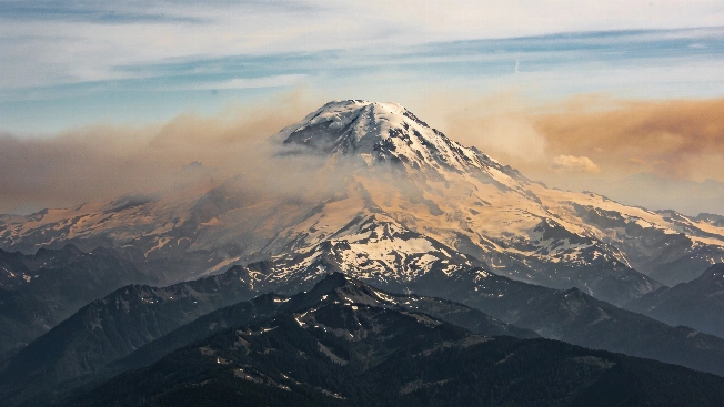
Wildfire Smoke from Space: ISS Images Pacific Northwest Volcanoes
Astronauts aboard the International Space Station have recorded extensive wildfire smoke blanketing Mount Rainier and other Cascade volcanoes, revealing the scale of ongoing fires in the Pacific Northwest as seen from orbit

DEEP Robotics Deploys Quadruped Robots for Hazardous Fire Response
DEEP Robotics has begun deploying its X30 quadruped and Lynx M20 wheeled-legged robots to perform initial reconnaissance in hazardous firefighting and emergency environments, aiming to reduce human exposure during early assessment and support operations
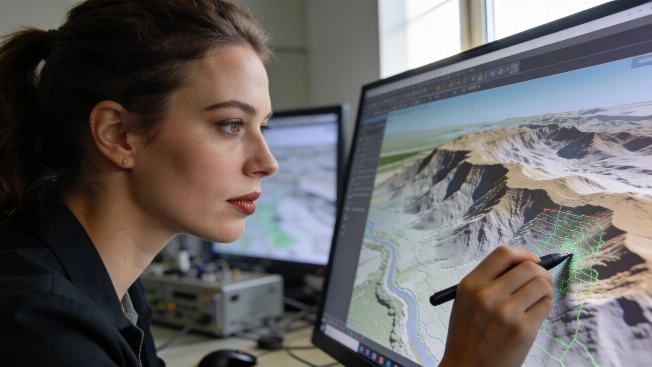
NASA Reviews EarthDEM Elevation Data for Scientific Accuracy
NASA's CSDA program has released a technical assessment of the Polar Geospatial Center's EarthDEM elevation models, evaluating their suitability for Earth science research using airborne lidar comparisons
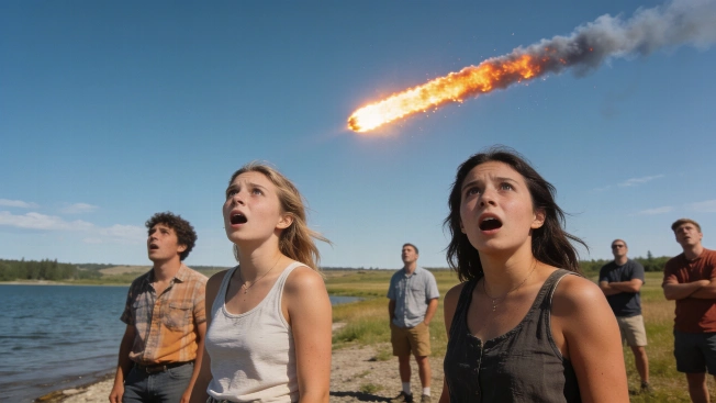
1972 Daylight Fireball Skimmed Earth's Atmosphere Over North America
On August 10, 1972, a large meteoroid entered Earth's atmosphere over Utah and exited over Alberta, Canada, producing a rare daylight fireball visible across North America and offering a unique opportunity to study atmospheric entry dynamics
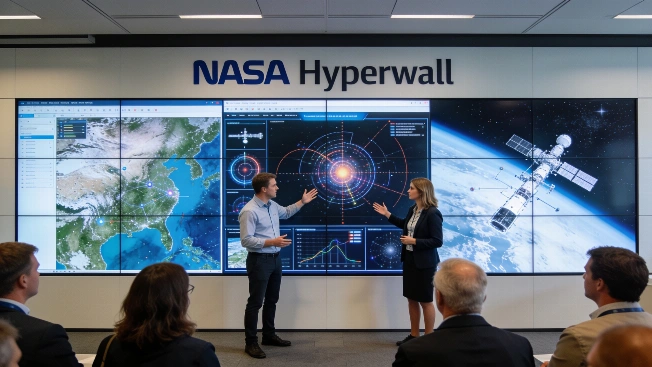
NASA Schedules Hyperwall Science Talks for IGARSS 2026 in Vienna
NASA will present a series of Hyperwall science talks at IGARSS 2026, featuring mission updates and instrument demonstrations from Earth and planetary science experts in the exhibit hall

NASA Invites Public to Identify August 2026 Satellite Image
NASA Earth Observatory has released a new satellite image challenge for August 2026, inviting the public to analyze a puzzling landform and submit their interpretations based on visible clues and scientific reasoning
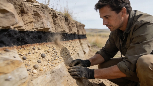
Chicxulub Dust May Have Fueled Lethal Firestorms
A new model of the Chicxulub impact includes ultrafine silicate dust found at fossil sites, suggesting surface temperatures may have become lethal within hours before a prolonged impact winter began
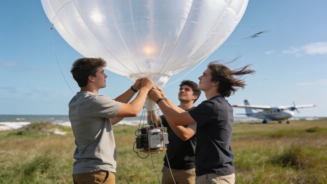
NASA's SARP Students Launch Ozone Sensors in Gulf Coast Field Campaign
Undergraduates in NASA's Student Airborne Research Program deployed ozonesonde balloons and flew on science aircraft to collect atmospheric data over the Texas Gulf Coast, gaining hands-on experience with field instruments and satellite validation
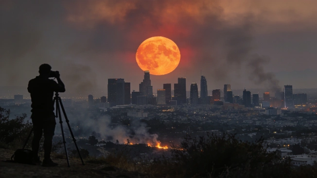
July's Buck Moon Captured Worldwide Amid Wildfires and Atmospheric Haze
Astronomers and photographers documented the July Buck Moon on July 29, 2026, as it rose through wildfire smoke and atmospheric haze, producing striking images across multiple continents and urban skylines
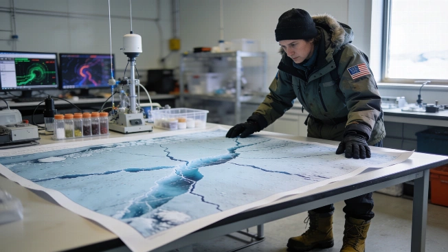
NISAR Satellite Data Reveals Antarctic Ice Fractures in Unprecedented Detail
NASA and ISRO have begun releasing data from the NISAR satellite's dual radar systems, offering researchers new insights into the movement and structure of Antarctic ice and other dynamic Earth surfaces
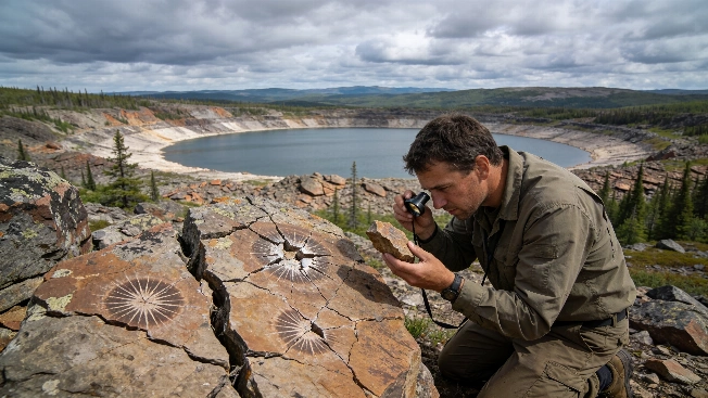
Possible Ancient Impact Crater Identified in Northern Quebec
A large circular structure in Quebec's Côte-Nord region, first noticed on Google Maps, may be a 390-million-year-old impact crater. Fieldwork and rock analysis are underway to confirm its extraterrestrial origin
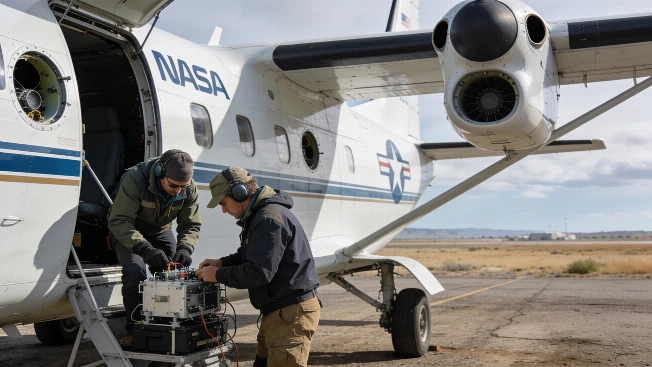
NASA Prepares Six New Airborne Missions to Study Earth's Extremes
NASA is launching a new series of suborbital missions using aircraft, drones, and remote sensors to investigate wildfires, air quality, glacier retreat, and landslides, aiming to improve scientific understanding of rapid environmental change
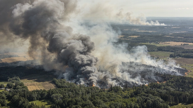
NOAA-21 Satellite Captures Canada Wildfire Smoke Spanning Continents
A NOAA-21 satellite image from July 14, 2026, reveals vast smoke plumes from over 850 wildfires in Canada, with thick haze drifting into the northeastern United States and raising air quality concerns across borders.
Extreme Solar Storms May Exceed Previous Impact Estimates
A new analysis of solar wind data suggests that the most powerful solar storms could cause greater geomagnetic disturbances on Earth than previously calculated, with implications for satellites and power grids
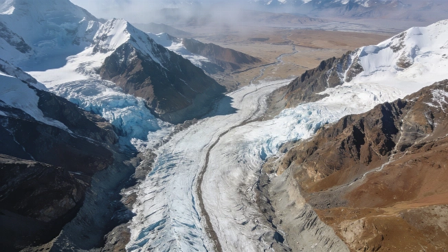
Glaciers Observed Flowing Down the Himalayas from Space
A NASA astronaut aboard the International Space Station captured detailed images of glaciers moving across the Himalayas, providing a rare perspective on the scale and dynamics of these ice flows as they descend toward the Tibetan Plateau