
Ground-Penetrating Radar
7 reportsNew findings about Ground-Penetrating Radar are placed alongside calibration or reference data, together with spatial or chronological resolution and validation with excavation evidence. For validation with excavation evidence, the primary record comes from blind or comparative tests, with integration with excavation records providing a separate test; the account does not overlook that disturbance, contamination, and incomplete context can narrow what the method establishes.
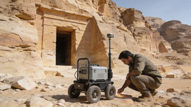
Radar Evidence Revives Search Beyond Tutankhamun's Tomb
More than 1,200 microgravity readings and ground-penetrating radar surveys have identified low-density anomalies beyond Tutankhamun's burial chamber. The findings are consistent with possible corridors and rooms, but neither the structures nor a connection to Nefertiti has been confirmed by excavation.

Medieval Monastery Choir Mapped Beneath Oslo Using Ground-Penetrating Radar
Archaeologists have identified the buried choir of a Franciscan monastery church beneath Oslo Hospital using ground-penetrating radar, revealing foundations, possible graves, and a lost cemetery without excavation
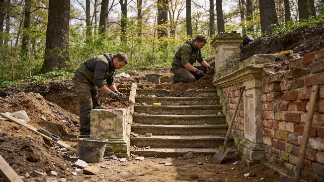
Nineteenth-Century Structures Uncovered Beneath Warsaw's Morysin Park
Archaeologists have revealed the remains of 19th-century buildings, including walls, floors, and a stone staircase, during excavations in Warsaw's Morysin Park, offering new evidence for the park's architectural history and preservation challenges
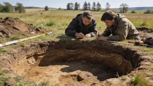
6,500-Year-Old Ritual Enclosure Predating Stonehenge Found in Czech Republic
Archaeologists have uncovered a Neolithic circular enclosure in Central Bohemia, dating to around 6,500 years ago, with entrances aligned to solar and lunar events. The site offers new evidence for early ritual landscapes in prehistoric Europe
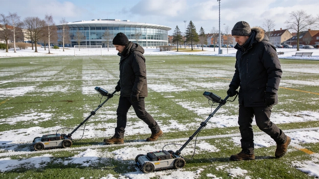
Medieval Monastery Remains Mapped Beneath Danish Football Field
Archaeologists in Roskilde, Denmark, have identified the buried remains of the 13th-century St Clara Monastery using ground-penetrating radar, revealing a well-preserved monastic layout beneath a modern sports field ahead of planned construction
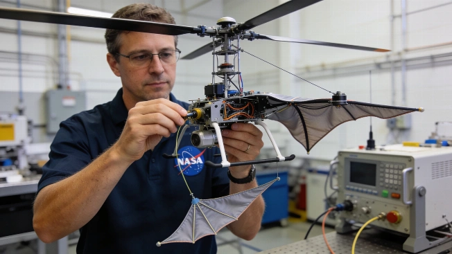
NASA's SkyFall Mars Helicopters to Map Subsurface Ice with Flexible Radar
NASA's upcoming SkyFall mission will deploy three mini helicopters to Mars, each equipped with lightweight, flexible radar antennas designed to detect shallow subsurface ice deposits inaccessible to orbiting spacecraft
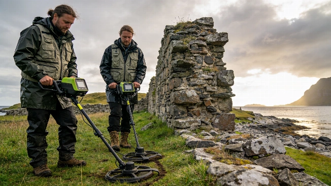
Medieval Stone Structure Discovered Outside Selja Monastery in Norway
Archaeologists using ground-penetrating radar have identified a substantial medieval stone wall outside the Selja monastery in western Norway, raising new questions about the scale and complexity of this early Christian site