Archaeologists in Roskilde, Denmark, have identified the buried remains of the 13th-century St Clara Monastery using ground-penetrating radar, revealing a well-preserved monastic layout beneath a modern sports field ahead of planned construction
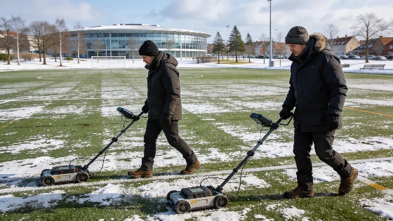
Archaeological surveyors in Roskilde, Denmark, have uncovered the buried remains of the St Clara Monastery, a 13th-century religious complex previously believed to have been almost entirely destroyed after the Reformation. The discovery was made beneath a football pitch in Byparken, where ground-penetrating radar (GPR) revealed substantial masonry and architectural features about one meter below the surface.
Remote Sensing Reveals Monastic Architecture
The investigation was initiated in advance of a proposed underground parking facility, prompting a non-invasive survey to assess potential archaeological remains. Historical records indicated that a medieval nunnery once occupied the area, but the extent of preservation was unknown due to centuries of demolition and later urban development. Instead of immediate excavation, researchers from ROMU, the National Museum of Denmark, and the Norwegian Institute for Cultural Heritage Research (NIKU) employed GPR to map subsurface structures.
The GPR survey, conducted during winter 2025, produced some of the clearest geophysical images of a medieval monastic complex yet recorded in Scandinavia. The data revealed four wings arranged around a central courtyard, with internal room divisions, cloisters, and the monastery church identified in the southern wing. The eastern and northern wings showed particularly strong preservation, including evidence for vaulted architecture and room foundations. Additional anomalies suggest further structures outside the main enclosure.
Preservation and Historical Context
St Clara Monastery was founded in 1256 and played a significant role in medieval Roskilde, which was a center of ecclesiastical and royal power. The nunnery survived until the 16th-century Reformation, after which its buildings were dismantled and an estimated half a million bricks were repurposed for Selsø Castle. The scale of demolition led many to assume that little of the original complex survived. However, the presence of an undeveloped open space above the site has allowed for an unusually complete geophysical survey within a modern city.
The GPR results provide a rare opportunity to study the full layout of a medieval monastic complex in situ. The clarity of the radar images allows researchers to distinguish architectural details such as pillar foundations, cloisters, and room divisions. The findings also offer a comparative context for understanding other monastic sites in Roskilde, most of which are now protected and inaccessible to similar investigation. This approach echoes recent advances in archaeological remote sensing, such as the use of non-invasive methods to document medieval urban infrastructure at sites like Ani in Türkiye, where a Seljuk-era storage facility was recently mapped before excavation.
Next Steps and Research Implications
Archaeologists plan to conduct targeted test excavations in areas affected by the planned parking development. These trenches will allow direct comparison between the GPR data and the physical condition of the buried remains, helping to determine the depth, preservation, and character of the structures. The results will inform decisions about further excavation and strategies for preserving the most significant elements of the site.
The discovery of the St Clara Monastery remains is significant not only for its preservation but also for its legal and heritage status. Unlike Roskilde's other medieval monastic sites, which are protected, the St Clara area had not received similar recognition due to the assumption that its remains were lost. The new evidence demonstrates that substantial medieval architecture survives, highlighting the value of geophysical methods for identifying and protecting archaeological heritage in urban environments.
Ground-penetrating radar (GPR) is a non-destructive geophysical technique that uses electromagnetic waves to detect subsurface features. As the radar unit is moved across the ground, it emits signals that reflect off buried structures with different physical properties than the surrounding soil, such as stone or brick walls. By processing thousands of these reflections, archaeologists can generate horizontal slices at various depths, revealing the position and shape of archaeological remains. GPR is especially valuable in urban or sensitive contexts where excavation is limited, allowing researchers to map buried architecture with minimal disturbance to the site.