
United States Geological Survey
5 reportsUnited States Geological Survey is approached through water resources, while also considering geological mapping and ecosystem science. The case for ecosystem science is reconstructed from field measurements and geophysical networks, subject to the fact that the conclusion remains provisional because hazard estimates remain probabilistic and subsurface conditions are often inferred indirectly.

Landsat 8 Captures Anak Krakatau Eruption from Orbit
NASA and USGS's Landsat 8 satellite recorded Anak Krakatau's eruption as volcanic gas and ash reached the atmosphere, grounding flights and halting local activity while the volcano remains active

Infleqtion Plans Quantum Gravity Sensor Field Test in Colorado
Infleqtion has opened its new global headquarters in Colorado and announced a 2027 field demonstration of its neutral-atom quantum gravity gradiometry technology for mapping critical mineral deposits beneath the surface
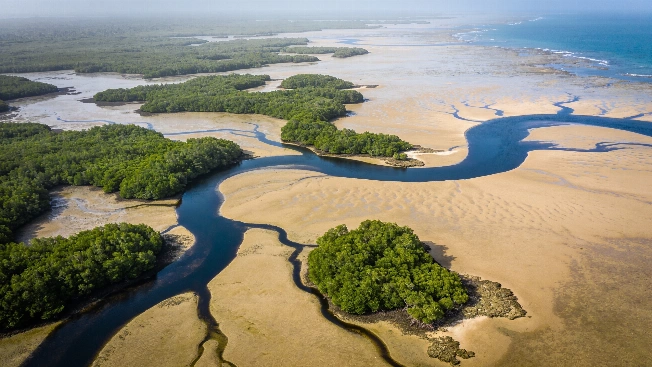
Guinea-Bissau's Islands Expand and Shrink with the Tides
A NASA satellite image captures how twice-daily tides redraw Guinea-Bissau's Bijagós Archipelago, exposing broad mudflats and sandflats before seawater returns through its mangrove channels
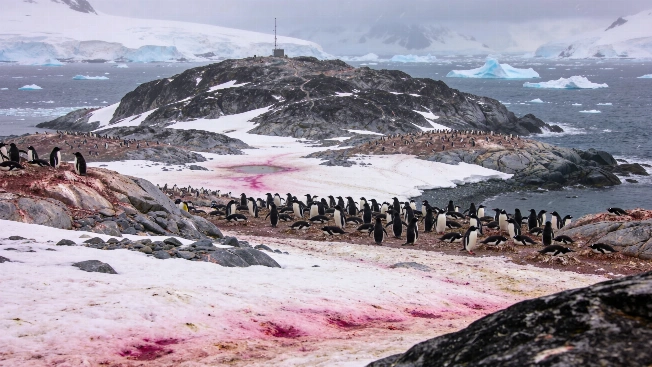
Satellite Images Reveal Penguin Diet Shifts on Antarctica's Danger Islands
NASA's Landsat 8 satellite and drone surveys have enabled researchers to monitor Adélie penguin colonies on the Danger Islands by analyzing the color of their guano, offering new insight into how changing sea ice may affect Antarctic food webs
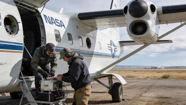
NASA Prepares Six New Airborne Missions to Study Earth's Extremes
NASA is launching a new series of suborbital missions using aircraft, drones, and remote sensors to investigate wildfires, air quality, glacier retreat, and landslides, aiming to improve scientific understanding of rapid environmental change