
Atmospheric Aerosol
7 reportsCoverage places circulation pattern, while also considering feedback mechanism and observational records within the wider context of Atmospheric Aerosol. The account follows reanalysis products as the direct record and independent climate models as the broader comparison for observational records; confidence is limited by the fact that short records, natural variability, and scenario assumptions can widen uncertainty.
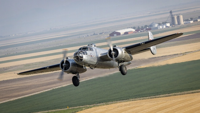
NASA Aircraft Will Track Farm Pollution Over Colorado
NASA's FarmFlux airborne campaign is planned to begin with low-altitude flights over Colorado farmland in fall 2026, measuring methane, ozone, ammonia, particulates and other pollutants while tracing nitrogen exchange between agricultural systems and the atmosphere.

Landsat 8 Captures Anak Krakatau Eruption from Orbit
NASA and USGS's Landsat 8 satellite recorded Anak Krakatau's eruption as volcanic gas and ash reached the atmosphere, grounding flights and halting local activity while the volcano remains active
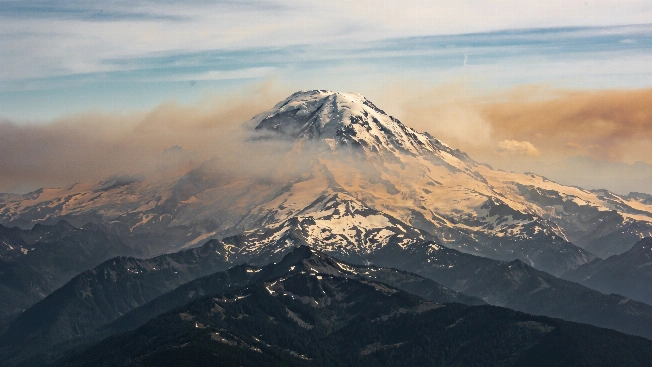
Wildfire Smoke from Space: ISS Images Pacific Northwest Volcanoes
Astronauts aboard the International Space Station have recorded extensive wildfire smoke blanketing Mount Rainier and other Cascade volcanoes, revealing the scale of ongoing fires in the Pacific Northwest as seen from orbit
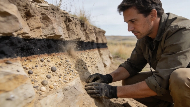
Chicxulub Dust May Have Fueled Lethal Firestorms
A new model of the Chicxulub impact includes ultrafine silicate dust found at fossil sites, suggesting surface temperatures may have become lethal within hours before a prolonged impact winter began
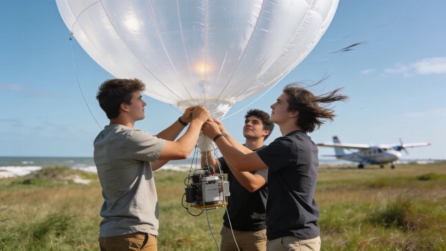
NASA's SARP Students Launch Ozone Sensors in Gulf Coast Field Campaign
Undergraduates in NASA's Student Airborne Research Program deployed ozonesonde balloons and flew on science aircraft to collect atmospheric data over the Texas Gulf Coast, gaining hands-on experience with field instruments and satellite validation
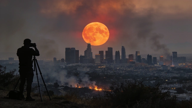
July's Buck Moon Captured Worldwide Amid Wildfires and Atmospheric Haze
Astronomers and photographers documented the July Buck Moon on July 29, 2026, as it rose through wildfire smoke and atmospheric haze, producing striking images across multiple continents and urban skylines
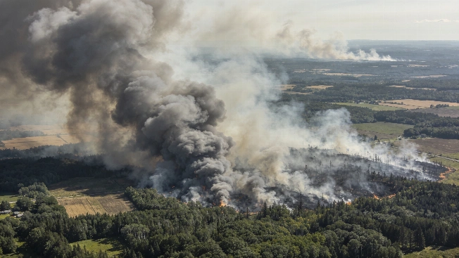
NOAA-21 Satellite Captures Canada Wildfire Smoke Spanning Continents
A NOAA-21 satellite image from July 14, 2026, reveals vast smoke plumes from over 850 wildfires in Canada, with thick haze drifting into the northeastern United States and raising air quality concerns across borders.