
Cryosphere
1 reportResearch on Cryosphere uses observations, reconstructions, and models to understand a component or driver of the climate system. Evidence comes from ice sheets, snow cover, and primary observations, and competing models remain viable when observations are sparse or indirect.
To assess what satellite records can and cannot show, reports compare model results, ice sheets, and snow cover. They also ask how ice loss is measured, showing how sparse measurements or incomplete records limit certainty.
To assess what satellite records can and cannot show, reports compare model results, ice sheets, and snow cover. They also ask how ice loss is measured, showing how sparse measurements or incomplete records limit certainty.
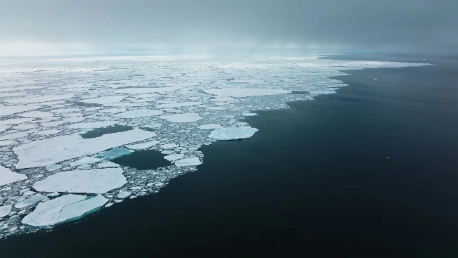
Arctic Sea Ice Reaches Its Preliminary 2026 Minimum at the 11th-Lowest Level
Arctic sea ice reached a preliminary 2026 minimum of 4.60 million square kilometers on Sept. 12. The estimate ranks 11th-lowest in the satellite record, although the final value and ranking remain subject to confirmation.