
Landsat Program
3 reportsLandsat Program is a climate evidence resource used to reconstruct change, compare records, and test competing explanations. Evidence comes from satellite observation, instrumental record, and ice core data, and competing models remain viable when observations are sparse or indirect.
A detailed treatment of Landsat Program follows observation coverage; calibration and processing; and versioned data products. The account anchors versioned data products in station or satellite records and uses method documentation to test whether the pattern extends beyond one dataset; the strongest interpretation still recognizes that coverage gaps and methodological revisions can shift trends or regional estimates.
A detailed treatment of Landsat Program follows observation coverage; calibration and processing; and versioned data products. The account anchors versioned data products in station or satellite records and uses method documentation to test whether the pattern extends beyond one dataset; the strongest interpretation still recognizes that coverage gaps and methodological revisions can shift trends or regional estimates.

Landsat 8 Captures Anak Krakatau Eruption from Orbit
NASA and USGS's Landsat 8 satellite recorded Anak Krakatau's eruption as volcanic gas and ash reached the atmosphere, grounding flights and halting local activity while the volcano remains active
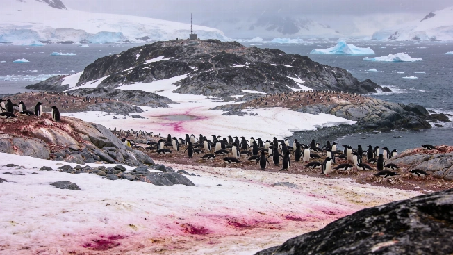
Satellite Images Reveal Penguin Diet Shifts on Antarctica's Danger Islands
NASA's Landsat 8 satellite and drone surveys have enabled researchers to monitor Adélie penguin colonies on the Danger Islands by analyzing the color of their guano, offering new insight into how changing sea ice may affect Antarctic food webs
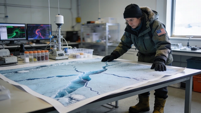
NISAR Satellite Data Reveals Antarctic Ice Fractures in Unprecedented Detail
NASA and ISRO have begun releasing data from the NISAR satellite's dual radar systems, offering researchers new insights into the movement and structure of Antarctic ice and other dynamic Earth surfaces