
Erosion
2 reportsErosion is a geological process that changes rocks, landscapes, crust, or fluids across measurable timescales. Researchers test interpretations with temperature conditions, surface expression, and material transport, while incomplete records, model assumptions, and measurement limits constrain certainty.
Coverage places physical mechanism; monitoring or field indicators; and rates and timescales within the wider context of Erosion. For rates and timescales, the primary record comes from geophysical monitoring, with laboratory or numerical models providing a separate test; confidence is limited by the fact that events are unevenly preserved and rates can vary across place and time.
Coverage places physical mechanism; monitoring or field indicators; and rates and timescales within the wider context of Erosion. For rates and timescales, the primary record comes from geophysical monitoring, with laboratory or numerical models providing a separate test; confidence is limited by the fact that events are unevenly preserved and rates can vary across place and time.
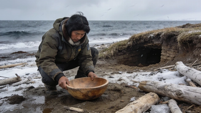
Storm Erosion Exposes Yup'ik Heritage at Nunalleq
After Typhoon Halong damaged western Alaska, archaeologists and Quinhagak volunteers carried out an emergency 2026 excavation at Nunalleq, recovering hundreds of Yup'ik artefacts before further storms and coastal erosion can carry them into the Bering Sea.
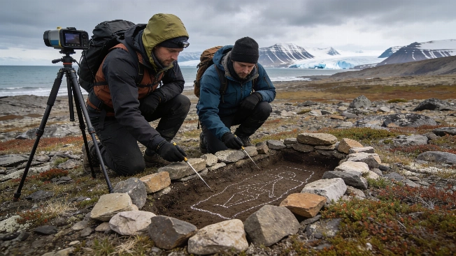
Stone-Lined Graves and Ship Timbers Documented in Arctic Svalbard Survey
Archaeologists have identified 45 stone-lined graves and ship timber fragments on Svalbard using non-invasive survey methods, raising new questions about burial traditions and the preservation of Arctic heritage under threat from erosion