Chinese researchers have released a new 1:5 million scale map of the Moon, updating lunar geologic eras and far side data using recent sample-return missions and reprocessed spectral analysis
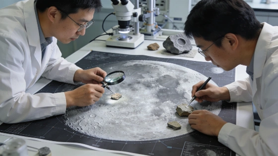
China has released a new high-resolution map of the Moon, incorporating recent sample-return data and updated geologic interpretations. The map, produced by the Institute of Geology at the Chinese Academy of Geological Sciences, refines the boundaries of ancient lunar periods and introduces a proprietary cartographic standard intended to shape future planetary mapping efforts.
Updated Lunar Geology and Mapping Standards
The new lunar map, presented at a scale of 1:5 million, revises the chronology of the Moon's surface by redefining the boundaries of the Aitkenian, Nectarian, and Imbrian periods. These geologic eras, which span from roughly 4.5 billion to 3.2 billion years ago, are central to understanding the Moon's early history. The updated map also incorporates reprocessed spectral data to better delineate regions rich in potassium, rare-earth elements, and phosphorus-collectively known as KREEP terrane. This material, previously thought to be more localized, is now mapped as more continuous and widespread, suggesting a more complex history of lunar crust formation.
China's approach introduces a new cartographic standard, including a color scheme and geologic logic that emphasizes lighter colors for younger surfaces and darker tones for older terrains. This standard is intended not only for lunar mapping but also as a template for future planetary geologic maps as China expands its exploration to other bodies in the solar system.
Sample-Return Missions and Far Side Insights
The map's refinements are grounded in data from China's recent robotic sample-return missions. Chang'e 5, launched in 2020, returned samples from the Moon's near side, while Chang'e 6, launched in 2024, became the first mission to deliver material from the lunar far side. Analysis of these samples has provided new constraints on the composition and age of both hemispheres, enabling more precise geologic mapping. The far side samples, in particular, offer a rare opportunity to test models of lunar evolution in regions previously inaccessible to direct study.
These advances build on a legacy of lunar exploration that includes the Apollo and Luna missions, which returned samples over 50 years ago. The new Chinese map leverages both historical and recent data, integrating laboratory analysis with remote sensing to produce a more comprehensive view of the Moon's surface evolution. For context, the Soviet Luna 24 mission in 1976 marked the end of an earlier era of robotic lunar sample return, as described in this historical overview of Luna 24's achievements.
Implications for Space Policy and Standards
The release of a proprietary mapping standard reflects China's broader ambition to influence technical norms in planetary science. While Coordinated Universal Time (UTC) is universally accepted on Earth, China and the United States currently disagree on how to define timekeeping on the Moon, highlighting a growing contest over space standards. The adoption of a Chinese cartographic framework for lunar and planetary mapping could shape how future missions document and interpret extraterrestrial surfaces.
As international interest in lunar exploration intensifies, the question of whose standards will guide scientific and operational activities is becoming increasingly significant. The new map is positioned as both a scientific resource and a strategic tool in this evolving landscape.
Numerical Context and Remaining Uncertainties
The 1:5 million scale map covers the entire lunar surface, with updated boundaries for the Aitkenian (pre-Nectarian), Nectarian, and Imbrian periods based on sample ages ranging from approximately 4.5 to 3.2 billion years. KREEP-rich regions are now mapped as more extensive than in previous editions, but the precise distribution and origin of these materials remain subjects of ongoing research. While the Chang'e 5 and Chang'e 6 missions have provided new samples, the global applicability of their findings is limited by the small number of return sites and the inherent complexity of lunar geology.
Further refinement of lunar geologic history will depend on additional sample-return missions, improved remote sensing, and international collaboration. The current map represents a significant step, but many questions about the Moon's formation, differentiation, and thermal evolution remain unresolved.
Geologic mapping of planetary surfaces relies on integrating remote sensing data, laboratory analysis of returned samples, and stratigraphic interpretation. Spectral data from orbiters can identify mineral compositions and surface ages, but direct sampling is essential for calibrating these observations. Cartographic standards, such as those introduced in China's new lunar map, determine how features are classified and visualized, affecting both scientific understanding and mission planning. As more nations participate in lunar and planetary exploration, the development and adoption of shared-or competing-mapping frameworks will play a central role in shaping the future of planetary science.