
Geochronology
1 reportGeochronology is an Earth-science method used to measure subsurface structure, surface change, fluids, hazards, or environmental history. Valid use requires calibration standard, field instrument, and spatial resolution, with transparent assumptions and checks against bias or model misspecification.
The research story of Geochronology is traced through integration with other observations, together with measurement principle and survey design. The discussion asks what can be established from field validation about measurement principle and whether a compatible result appears in instrument records; the account does not overlook that coverage, noise, and inversion assumptions can limit subsurface or surface interpretation.
The research story of Geochronology is traced through integration with other observations, together with measurement principle and survey design. The discussion asks what can be established from field validation about measurement principle and whether a compatible result appears in instrument records; the account does not overlook that coverage, noise, and inversion assumptions can limit subsurface or surface interpretation.
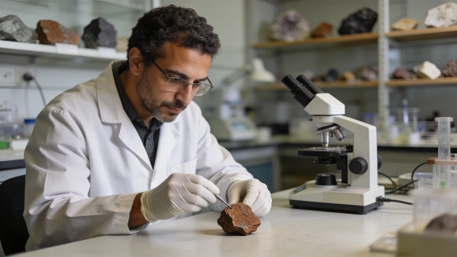
Ancient Martian Meteorite Teghaza 001 Sheds Light on Mars' Early Crust
Laboratory analysis of the Teghaza 001 meteorite, recovered in Mali, reveals evidence of ancient Martian crust formation and early atmospheric loss, offering new constraints on Mars' geological evolution