Recent excavations and LiDAR analysis at Galich's fortified settlements indicate that the Lower Settlement's major defenses were likely constructed in the 15th century, challenging the long-held view of a 12th-century origin
Archaeological research at the medieval fortified sites of Galich in Russia has led to a significant revision of the city's defensive history. For decades, the Lower Settlement was believed to be a pre-Mongol fortress dating to the 12th century, but new evidence from excavations and remote sensing suggests its main fortifications were constructed much later, during the mid-15th century.
Reassessing the Lower Settlement
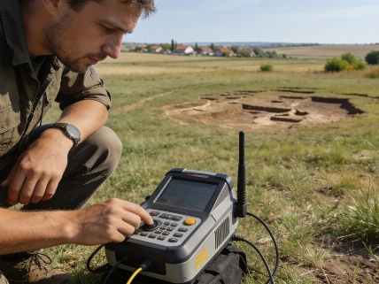
In 2026, a team from the Institute of Archaeology of the Russian Academy of Sciences combined traditional excavation with LiDAR (Light Detection and Ranging) scanning to investigate the Lower and Upper Settlements in the Balchug tract. The Lower Settlement, previously attributed to the 12th century based on pottery finds and earlier fieldwork, was re-examined through two targeted excavation areas and high-resolution digital landscape modeling.
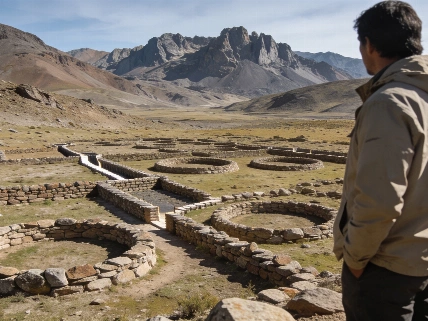
The LiDAR survey revealed a pentagonal enclosure defined by four straight ramparts and the shore of Lake Galich, with ramparts reaching up to 5.4 meters in height and enclosing approximately 4.4 hectares. The digital model also identified rounded extensions at rampart ends, interpreted as possible tower foundations. The steep slopes and irregular earthwork arrangement differ from typical pre-Mongol fortifications, instead resembling later medieval defensive systems.
Material Evidence and Chronology
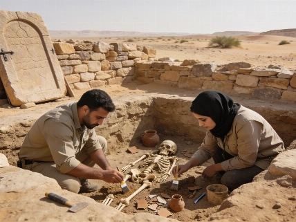
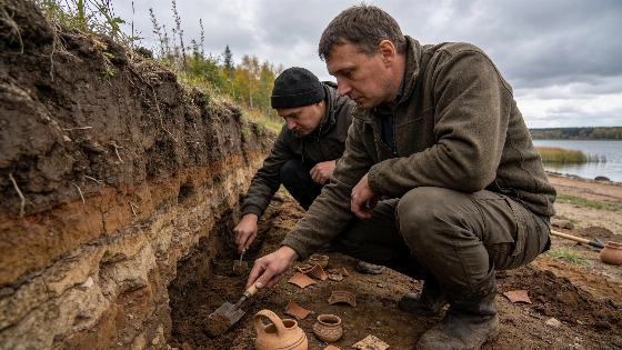
Excavations in July 2026 opened two trenches totaling about 50 square meters. The upper trench, on the south-western elevation, contained a thin archaeological layer with pottery from the 14th and 15th centuries, burnt timber, baked clay, and a faceted armor-piercing arrowhead consistent with late medieval warfare. A crucial find was a silver denga coin minted for Grand Prince Vasily the Dark between 1447 and 1449, recovered from a layer above the burnt remains. This coin provides a terminus post quem for the construction of the fortifications.
The lower trench yielded a richer deposit of pottery, a type B padlock, and decorative belt fittings with parallels in 14th- and 15th-century contexts, including sites of the Golden Horde. Several lines of palisade fencing were also identified, likely marking late medieval residential boundaries. Notably, the excavations did not recover a pre-Mongol archaeological layer, and most datable artifacts belonged to the 14th and 15th centuries. No material attributable to the 16th or 17th centuries was found.
Historical Context and Interpretation
The revised chronology places the construction of the Lower Settlement's fortifications in the context of 15th-century military conflict, possibly linked to the struggle between Dmitry Shemyaka and Muscovite forces around 1447-1450. Historical accounts describe Shemyaka's troops being stationed on the mountain below Galich before their defeat. Researchers propose that the fortress functioned as a citadel or military camp rather than a permanent urban center, dominating the city below during a period of instability.
The Upper Settlement, also investigated with LiDAR, appears to represent a later phase of fortification, with straight earthworks and probable tower foundations dating from the late 15th to early 16th century. Its role may have been as an outpost or additional defensive enclosure, possibly constructed in response to threats from the Kazan Khanate. The absence of pre-Mongol material at both sites leaves the location and character of Galich's earliest fortifications unresolved.
Comparative Approaches and Ongoing Questions
The integration of LiDAR and targeted excavation at Galich reflects a broader trend in archaeological methodology, where remote sensing is used to guide fieldwork and refine site chronologies. Similar approaches have been applied elsewhere, such as the use of ground-penetrating radar to map medieval monastic remains beneath modern infrastructure, as seen in recent research in Denmark. At Galich, the combination of digital modeling and stratigraphic excavation has clarified the sequence of fortification but also highlighted the limits of current evidence.
While the new findings challenge the traditional narrative of a 12th-century fortress, they also underscore the need for further investigation to locate and characterize the city's earliest defensive structures. The absence of pre-Mongol layers may reflect either the true chronology of fortification or the limits of current sampling and preservation. Future research will focus on identifying undisturbed contexts that could yield earlier material.
LiDAR (Light Detection and Ranging) is a remote sensing technique that uses laser pulses to measure distances and generate high-resolution digital models of the landscape. In archaeological contexts, LiDAR can reveal subtle earthworks, buried structures, and landscape modifications that are difficult to detect from the ground, especially in areas with dense vegetation or complex topography. However, the interpretation of LiDAR data requires careful ground verification, as not all detected features are necessarily of archaeological origin. At Galich, LiDAR was instrumental in mapping the extent and form of the medieval fortifications, guiding excavation strategy and refining the site's chronological framework.