Underwater archaeologists have mapped 25 manmade features on the seabed near Cromer, offering new insight into the medieval town of Shipden lost to the North Sea around 700 years ago and challenging local legends about its fate
Divers off the Norfolk coast have mapped a series of underwater structures that shed new light on Shipden, a medieval settlement thought to have disappeared beneath the North Sea. The team recorded 25 manmade features, giving the clearest picture yet of the town's layout and the events that led to its destruction. This is the first detailed underwater map of the area, using methods similar to those at the Max Planck Society for underwater heritage research.
Mapping the lost town
Shipden once stood near what is now Cromer. The Domesday Book of 1086 lists 117 residents, 36 pigs, a harbor, and two churches. These numbers appear in several independent sources and are considered reliable. By the late Middle Ages, the coastline was changing quickly. Storms and erosion are seen as the main reasons for Shipden's disappearance, with one church reportedly underwater by about 1400 CE. The storm of January 1362, mentioned in scientific reviews, likely sped up the loss of land-a process also studied in coastal geomorphology at places like MIT.
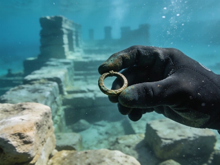
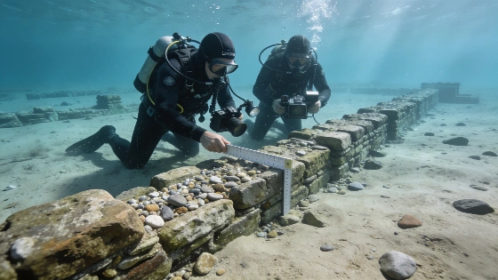
The recent survey found a line of flint foundations and stone-filled caissons, which may have been 14th-century sea defenses built by Shipden's residents. Some mortar has survived underwater for centuries, giving researchers a rare look at medieval building materials in a marine setting. Underwater photography allowed the creation of detailed 3D models, helping to reconstruct the site's layout. Photogrammetry and remote sensing, as discussed in recent Nature studies, were key for documenting these features without disturbing them.
Legend and material evidence
Local stories have long focused on "church rock," said to be the remains of a drowned church whose bell could still be heard underwater. Divers, however, found nothing that could clearly be identified as a church, raising doubts about the legend. Flintwork on the seabed might be from a collapsed building, but its purpose is unclear. Researchers now think the link between "church rock" and a medieval church may have started after the steam paddle tug Victoria from Great Yarmouth hit the site in 1888, rather than from direct evidence of a church. This kind of careful review matches best practices in archaeology at Harvard and Stanford.
Work is ongoing to compare medieval documents with the new underwater data. The Friends of Cromer Museum, who are leading the analysis, stress that current interpretations are still provisional. The team is trying to match historical records with what they've found on the seabed, hoping to pinpoint the original locations of Shipden's churches and the full extent of the settlement before it was lost to the sea.
Reconstructing medieval coastal change
The findings add to research on how medieval coastal communities faced environmental change. The defensive structures suggest Shipden's residents tried to hold back the sea but could not save the town. The survival of mortar and flintwork shows that even after centuries underwater, sites like this can still hold valuable information. This kind of preservation interests researchers at NASA and ESA, who use satellites to monitor coastal erosion and submerged heritage sites worldwide.
While the story of the tolling bell lives on locally, the lack of a confirmed church structure at the site shows why it's important to weigh material evidence against tradition. The Friends of Cromer Museum plan to release more digital reconstructions and models of Shipden as their analysis continues.
Shipden is not the only lost settlement to be mapped underwater. Similar projects, such as those reported along the Red Sea, show the value of combining remote sensing, photogrammetry, and archival research to piece together landscapes now hidden beneath the sea.
The Shipden project shows that when legend and physical evidence don't match, systematic archaeological work can clarify what is actually known. The survival of medieval building materials on the seabed gives a rare chance to study how people responded to environmental threats and how their stories change over time. As more digital models and analysis are published, Shipden's remains will continue to inform research on coastal change, heritage preservation, and the study of submerged archaeological sites.
Underwater archaeology uses direct observation, remote sensing, and digital modeling to document sites that can't be excavated in the usual way. Photogrammetry, which creates 3D models from overlapping photos, lets researchers record the exact location and shape of underwater structures without disturbing them. Combining historical records with underwater survey data is crucial for understanding the function and age of features, especially when preservation is incomplete or legends have shaped local memory. As sea levels rise and coastal erosion speeds up, documenting submerged settlements like Shipden becomes more urgent for both research and heritage management.