Archaeologists have mapped a massive stone fortress near Mescidli in Muş Province, Türkiye, using satellite imagery and fieldwork to reveal defensive walls and architectural features that could shed light on the early Urartian state
Archaeological research in eastern Türkiye has identified a vast stone fortress near the village of Mescidli in Muş Province, with evidence suggesting a possible connection to the early phases of the Urartian kingdom. The site, provisionally named "Dev Kale" or "Giant Fortress," was first recognized through satellite imagery that revealed geometric anomalies inconsistent with the natural landscape. Subsequent fieldwork confirmed the presence of monumental stone walls and additional architectural features, marking the site as one of the largest fortified settlements yet documented in the region.
Fortress Scale and Construction
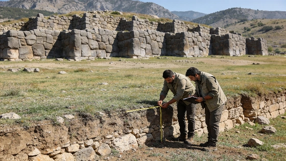
The newly identified stronghold covers an estimated 120,000 square meters-an area comparable to 17 football pitches-and is enclosed by approximately 1.4 kilometers of defensive walls. Surviving wall sections reach up to four meters in height on the exterior and about two meters on the interior, constructed using cyclopean and polygonal masonry techniques. These methods, involving the careful fitting of large, irregular stone blocks, are consistent with Early Iron Age fortifications elsewhere in eastern Türkiye, such as Aşağı Anzaf and Zivistan Fortress in Van Province. The scale and preservation of the walls suggest significant investment in defense and organization, but the precise date and cultural attribution remain to be established through systematic excavation and scientific dating.
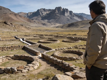
Within the enclosure, traces of additional structures are visible, particularly in the northern sector, indicating the potential for substantial archaeological remains beneath the surface. In the southern part of the site, a circular stone-built depression constructed from smaller stones may have served as a water storage or management feature, though its function is not yet confirmed. The combination of architectural features and strategic location near ancient routes highlights the site's potential importance for understanding regional settlement patterns and political developments during the Early Iron Age.
Urartian Context and Uncertainty
The fortress's location aligns with routes associated with the westward expansion of the Kingdom of Urartu, a major Iron Age polity centered around Lake Van that controlled territories across eastern Türkiye, Armenia, and northwestern Iran between the ninth and seventh centuries BCE. The architectural parallels with other Urartian and Early Iron Age sites raise the possibility that the fortress played a role in the kingdom's consolidation or frontier defense. However, without direct dating or diagnostic artifacts, the attribution to Urartu remains provisional. Researchers have submitted the site for official registration and protection, emphasizing the need for controlled excavation, ceramic analysis, and scientific dating to clarify its chronology and cultural affiliation.
The discovery also intersects with ongoing debates about the location of Arzaskun, a settlement mentioned in Urartian sources but never conclusively identified. The Muş region has been proposed as a candidate area due to its geography and proximity to ancient road networks, and the scale and architecture of the newly identified fortress may provide new data for this discussion. Nonetheless, researchers caution that no firm identification can be made until further archaeological investigation is conducted.
Comparative Evidence and Research Status
The identification of "Dev Kale" adds to a growing body of evidence for large-scale fortified settlements in the Early Iron Age landscapes of eastern Anatolia. Similar approaches using remote sensing and geophysical survey have transformed understanding of prehistoric and early historic power centers elsewhere, as seen in the recent mapping of monumental enclosures at Haughey's Fort in Ireland (see related research on large-scale fortifications). In the case of the Muş fortress, the combination of satellite imagery and ground verification has established the basic outline and construction techniques, but the absence of systematic excavation means that key questions about occupation, chronology, and cultural identity remain open.
At present, the site is regarded as a significant addition to the archaeological map of eastern Türkiye, with the potential to inform debates about the emergence and expansion of the Urartian state. If future research confirms its Early Iron Age and Urartian connections, the fortress could provide critical evidence for understanding the processes of political centralization and frontier management in ancient Anatolia.
Remote Sensing in Archaeology
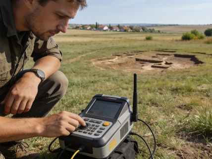
Remote sensing techniques, including satellite imagery and aerial photography, have become essential tools in archaeological survey and site identification. These methods allow researchers to detect geometric patterns, soil marks, and vegetation anomalies that may indicate buried structures or settlement layouts. While remote sensing can reveal the extent and organization of archaeological sites over large areas, ground verification and excavation remain necessary to confirm the nature, date, and cultural context of the features detected. The integration of remote sensing with traditional fieldwork has expanded the capacity to document and protect archaeological heritage, especially in regions where surface remains are limited or threatened by modern development.